Collingwood Heights geodata
Collingwood Heights (Western Australia) is a section of populated place; located in Australia in Australia/Perth (GMT+8) time zone. With population of 614 people, there are 4536 cities with bigger population in this country. Compared to other cities in Australia, 71.2% of cities are located further ↑North; 89.8% of cities are located further →East and 93.8% of cities have higher elevation than Collingwood Heights. Note1


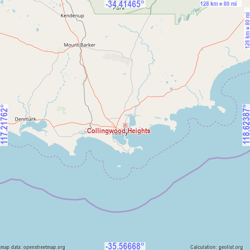
Collingwood Heights GPS coordinates[2]
34° 59' 33.684" South, 117° 55' 14.664" East
| Map corner | latitude | longitude |
|---|---|---|
| Upper-left | -34.41465°, | 117.21762° |
| Center: | -34.99269°, | 117.92074° |
| Lower-right: | -35.56668°, | 118.62387° |
| Map W x H: | 128.1×128.1 km | = 79.6×79.6mi |
| max Lat: | -10.58257° ⇑71.2% North |
| Collingwood Heights: | -34.99269° |
| min Lat: | ⇓28.8% South -43.31423° |
| min Long | Collingwood Hei | max Long |
| 113.53327° | 117.92074° | 153.61246° |
| W 10.2%⇐ | ⇒89.8% E |
Elevation
Elevation of Collingwood Heights is 7 m = 23 ft, and this is 115 m = 377 ft below average elevation for this country.
| Max E: |
1715 m = 5627 ft | 93.8% |
| Avg. | 122 m = 400 ft | |
| Collingwood Heights | 7 m = 23 ft | |
Min E: |
-2 m = -7 ft | 6.2% |
See also: Australia elevation on elevation.city.
Geographical zone
Collingwood Heights is located in South temperate zone (between Tropic of Capricorn and the Antarctic Circle). Distance of this Southern Tropic circle is 1284.9 km =798.4 mi to North.| Distance of | km | miles | from Collingwood Heights |
|---|---|---|---|
| Equator | 3890.8 | 2417.6 | to North |
| Tropic Capricorn | 1284.9 | 798.4 | to North |
| Antarctic Circle | 3510.4 | 2181.3 | to South |
| South Pole | 6116.2 | 3800.4 | to South |


Nearby cities:
15 places around Collingwood Heights: (largest is in red/bold)
• Albany
5.1 km =3.2 mi,  221°
221°
• Albany city centre
4.8 km =3 mi, 222°
• Bayonet Head
2.5 km =1.6 mi,  29°
29°
• Centennial Park
4.4 km =2.7 mi,  235°
235°
• Lockyer
5.8 km =3.6 mi,  255°
255°
• Lower King
4.2 km =2.6 mi,  22°
22°
• Middleton Beach
3.6 km =2.2 mi,  194°
194°
• Milpara
5.1 km =3.2 mi,  277°
277°
• Mira Mar
3.1 km =1.9 mi, 215°
• Mount Clarence
4.3 km =2.7 mi, 215°
• Mount Melville
5.6 km =3.5 mi,  233°
233°
• Orana
5.6 km =3.5 mi,  266°
266°
• Spencer Park
2.3 km =1.4 mi, 233°
• Willyung
6.7 km =4.2 mi,  325°
325°
• Yakamia
4.1 km =2.5 mi,  252°
252°
Sources, notices
• [Note1] Compared only with cities in Australia existing in our database
• [Src1] Map data: © OpenStreetMap contributors (CC-BY-SA)
• [Src2] Other city data from geonames.org with taken over terms of usage.
• [Src3] Geographical zone / Annual Mean Temperature by Robert A. Rohde @ Wikipedia
