Fort McPherson geodata
Fort McPherson (Northwest Territories) is a populated locality; located in Canada in America/Yellowknife (GMT-6) time zone. With population of 1,069 people, there are 1014 cities with bigger population in this country. Compared to other cities in Canada, 99.4% of cities are located further ↓South; 99.6% of cities are located further →East and 85.4% of cities have higher elevation than Fort McPherson. Note1
Administrative division(s):
- Level 1: Northwest Territories
- Level 2: Inuvik Region
- Level 3: Fort McPherson


Fort McPherson GPS coordinates[2]
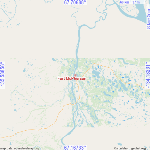
67° 26' 19.068" North, 134° 53' 7.548" West
| Map corner | latitude | longitude |
|---|---|---|
| Upper-left | 67.70688°, | -135.58856° |
| Center: | 67.43863°, | -134.88543° |
| Lower-right: | 67.16733°, | -134.18231° |
| Map W x H: | 60×60 km | = 37.3×37.3mi |
| max Lat: | 73.03752° ⇑0.6% North |
| Fort McPherson: | 67.43863° |
| min Lat: | ⇓99.4% South 42.05009° |
| min Long | Fort McPherson | max Long |
| -139.43328° | -134.88543° | -52.70931° |
| W 0.4%⇐ | ⇒99.6% E |
Elevation
Elevation of Fort McPherson is 21 m = 69 ft, and this is 233.4 m = 766 ft below average elevation for this country.
| Max E: |
1518 m = 4980 ft | 85.4% |
| Avg. | 254.4 m = 835 ft | |
| Fort McPherson | 21 m = 69 ft | |
Min E: |
-2 m = -7 ft | 14.6% |
See also: Canada elevation on elevation.city.
Geographical zone
Fort McPherson is located in North Frigid zone (between North Pole and Arctic Circle). Distance of this North polar circle is 97.3 km =60.5 mi to South.| Distance of | km | miles | from Fort McPherson |
|---|---|---|---|
| North Pole | 2508.6 | 1558.8 | to North |
| Arctic Circle | 97.3 | 60.5 | to South |
| Tropic Cancer | 4892.6 | 3040.1 | to South |
| Equator | 7498.5 | 4659.4 | to South |


Nearby cities:
4 places around Fort McPherson: (largest is in red/bold)
• Aklavik
86.9 km =54 mi,  356°
356°
• Inuvik
112.4 km =69.8 mi,  25°
25°
• Mayo
430.2 km =267.3 mi,  186°
186°
• Tuktoyaktuk
235.5 km =146.3 mi,  18°
18°
Sources, notices
• [Note1] Compared only with cities in Canada existing in our database
• [Src1] Map data: © OpenStreetMap contributors (CC-BY-SA)
• [Src2] Other city data from geonames.org with taken over terms of usage.
• [Src3] Geographical zone / Annual Mean Temperature by Robert A. Rohde @ Wikipedia
