Avarua geodata
Avarua (Rarotonga) is a capital of a political entity; located in Cook Islands in Pacific/Rarotonga (GMT-10) time zone. With population of 13,373 people, there are 0 cities with bigger population in this country. Note1


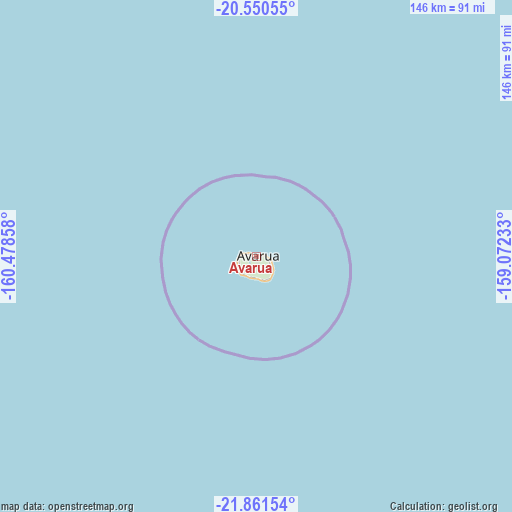
Avarua GPS coordinates[2]
21° 12' 27" South, 159° 46' 31.62" West
| Map corner | latitude | longitude |
|---|---|---|
| Upper-left | -20.55055°, | -160.47858° |
| Center: | -21.2075°, | -159.77545° |
| Lower-right: | -21.86154°, | -159.07233° |
| Map W x H: | 145.8×145.8 km | = 90.6×90.6mi |
Elevation
Elevation of Avarua is 6 m = 20 ft, and this is 0 m = 0 ft above average elevation for this country.
See also: Cook Islands elevation on elevation.city.
Geographical zone
Avarua is located in South Torrid zone (between Equator and Tropic of Capricorn). Distance of this Southern Tropic circle is 247.9 km =154 mi to South.| Distance of | km | miles | from Avarua |
|---|---|---|---|
| Equator | 2358.1 | 1465.3 | to North |
| Tropic Capricorn | 247.9 | 154 | to South |
| Antarctic Circle | 5043.1 | 3133.6 | to South |
| South Pole | 7649 | 4752.9 | to South |


Nearby cities:
0 places around Avarua: (largest is in red/bold)
There is no such city in our database.
Sources, notices
• [Note1] Compared only with cities in Cook Islands existing in our database
• [Src1] Map data: © OpenStreetMap contributors (CC-BY-SA)
• [Src2] Other city data from geonames.org with taken over terms of usage.
• [Src3] Geographical zone / Annual Mean Temperature by Robert A. Rohde @ Wikipedia
