Zhongdu geodata
Zhongdu (Fujian) is a seat of a fourth-order administrative division; located in China in Asia/Shanghai (GMT+8) time zone. In our database, there are 1268 cities with bigger population. Compared to other cities in China, 86.9% of cities are located further ↑North; 62.7% of cities are located further ←West and 61.1% of cities have lower elevation than Zhongdu. Note1


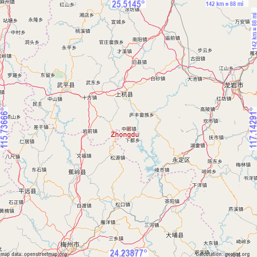
Zhongdu GPS coordinates[2]
24° 52' 41.808" North, 116° 26' 23.208" East
| Map corner | latitude | longitude |
|---|---|---|
| Upper-left | 25.5145°, | 115.73666° |
| Center: | 24.87828°, | 116.43978° |
| Lower-right: | 24.23877°, | 117.14291° |
| Map W x H: | 141.8×141.9 km | = 88.1×88.2mi |
| max Lat: | 53.31946° ⇑86.9% North |
| Zhongdu: | 24.87828° |
| min Lat: | ⇓13.1% South 18.22056° |
| min Long | Zhongdu | max Long |
| 75.07348° | 116.43978° | 134.28917° |
| W 62.7%⇐ | ⇒37.3% E |
Elevation
Elevation of Zhongdu is 273 m = 896 ft, and this is 211.8 m = 695 ft below average elevation for this country.
| Max E: |
5622 m = 18445 ft | 38.9% |
| Avg. | 484.8 m = 1591 ft | |
| Zhongdu | 273 m = 896 ft | |
Min E: |
-3 m = -10 ft | 61.1% |
See also: China elevation on elevation.city.
Geographical zone
Zhongdu is located in North temperate zone (between Tropic of Cancer and the Arctic Circle). Distance of this Northern Tropic circle is 160.3 km =99.6 mi to South.| Distance of | km | miles | from Zhongdu |
|---|---|---|---|
| North Pole | 7240.9 | 4499.3 | to North |
| Arctic Circle | 4635 | 2880.1 | to North |
| Tropic Cancer | 160.3 | 99.6 | to South |
| Equator | 2766.2 | 1718.8 | to South |


Nearby cities:
15 places around Zhongdu: (largest is in red/bold)
• Beiqi
12.9 km =8 mi,  219°
219°
• Chadi
21.6 km =13.4 mi,  41°
41°
• Hongshan
16.5 km =10.3 mi,  152°
152°
• Huyang
22 km =13.7 mi,  326°
326°
• Lanxi
18.3 km =11.4 mi,  77°
77°
• Lincheng
20.4 km =12.7 mi,  350°
350°
• Linjiang
19.4 km =12.1 mi, 354°
• Lufeng
10.6 km =6.6 mi, 40°
• Nanqi
21.3 km =13.2 mi, 216°
• Panjing
21.4 km =13.3 mi,  24°
24°
• Rentian
16.3 km =10.1 mi,  99°
99°
• Songyuan
16.9 km =10.5 mi,  200°
200°
• Xiadu
7 km =4.3 mi,  160°
160°
• Xiangdong
12.5 km =7.8 mi,  294°
294°
• Yanqian
21.9 km =13.6 mi,  267°
267°
Sources, notices
• [Note1] Compared only with cities in China existing in our database
• [Src1] Map data: © OpenStreetMap contributors (CC-BY-SA)
• [Src2] Other city data from geonames.org with taken over terms of usage.
• [Src3] Geographical zone / Annual Mean Temperature by Robert A. Rohde @ Wikipedia
