Wangcun geodata
Wangcun (Anhui) is a seat of a fourth-order administrative division; located in China in Asia/Shanghai (GMT+8) time zone. In our database, there are 1268 cities with bigger population. Compared to other cities in China, 56.8% of cities are located further ↑North; 72.6% of cities are located further ←West and 56.1% of cities have higher elevation than Wangcun. Note1


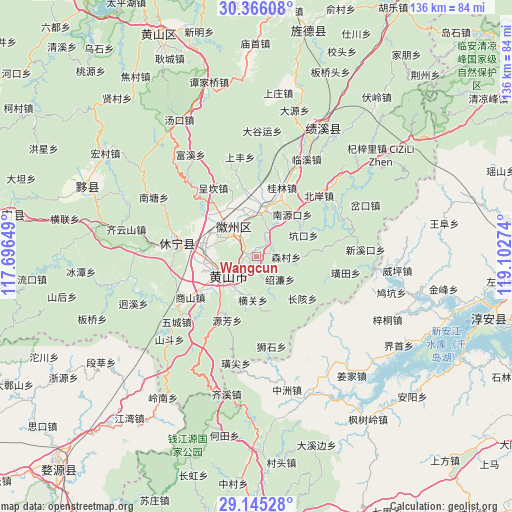
Wangcun GPS coordinates[2]
29° 45' 27.144" North, 118° 23' 58.596" East
| Map corner | latitude | longitude |
|---|---|---|
| Upper-left | 30.36608°, | 117.69649° |
| Center: | 29.75754°, | 118.39961° |
| Lower-right: | 29.14528°, | 119.10274° |
| Map W x H: | 135.7×135.7 km | = 84.3×84.3mi |
| max Lat: | 53.31946° ⇑56.8% North |
| Wangcun: | 29.75754° |
| min Lat: | ⇓43.2% South 18.22056° |
| min Long | Wangcun | max Long |
| 75.07348° | 118.39961° | 134.28917° |
| W 72.6%⇐ | ⇒27.4% E |
Elevation
Elevation of Wangcun is 123 m = 404 ft, and this is 361.8 m = 1187 ft below average elevation for this country.
| Max E: |
5622 m = 18445 ft | 56.1% |
| Avg. | 484.8 m = 1591 ft | |
| Wangcun | 123 m = 404 ft | |
Min E: |
-3 m = -10 ft | 43.9% |
See also: China elevation on elevation.city.
Geographical zone
Wangcun is located in North temperate zone (between Tropic of Cancer and the Arctic Circle). Distance of this Northern Tropic circle is 702.8 km =436.7 mi to South.| Distance of | km | miles | from Wangcun |
|---|---|---|---|
| North Pole | 6698.3 | 4162.1 | to North |
| Arctic Circle | 4092.4 | 2542.9 | to North |
| Tropic Cancer | 702.8 | 436.7 | to South |
| Equator | 3308.7 | 2055.9 | to South |


Nearby cities:
15 places around Wangcun: (largest is in red/bold)
• Donglinxi
13.8 km =8.6 mi,  228°
228°
• Huangshan
9.9 km =6.2 mi,  238°
238°
• Huicheng
12.8 km =8 mi,  14°
14°
• Liyang
12.4 km =7.7 mi, 242°
• Nanyuankou
13.8 km =8.6 mi,  39°
39°
• Sencun
7.6 km =4.7 mi,  89°
89°
• Shaolian
8.5 km =5.3 mi,  134°
134°
• Tunguang
4.1 km =2.5 mi,  284°
284°
• Xintan
11.7 km =7.3 mi,  258°
258°
• Xiongcun
7.5 km =4.7 mi,  29°
29°
• Yanghu
11 km =6.8 mi, 237°
• Yansi
9.5 km =5.9 mi,  320°
320°
• Yiqi
14.2 km =8.8 mi, 256°
• Zhengcun
11.5 km =7.1 mi,  349°
349°
• Zhengwan
13.5 km =8.4 mi,  193°
193°
Sources, notices
• [Note1] Compared only with cities in China existing in our database
• [Src1] Map data: © OpenStreetMap contributors (CC-BY-SA)
• [Src2] Other city data from geonames.org with taken over terms of usage.
• [Src3] Geographical zone / Annual Mean Temperature by Robert A. Rohde @ Wikipedia
