Liuhuang geodata
Liuhuang (Guangdong) is a seat of a fourth-order administrative division; located in China in Asia/Shanghai (GMT+8) time zone. In our database, there are 1268 cities with bigger population. Compared to other cities in China, 90.7% of cities are located further ↑North; 62.8% of cities are located further ←West and 82.9% of cities have higher elevation than Liuhuang. Note1


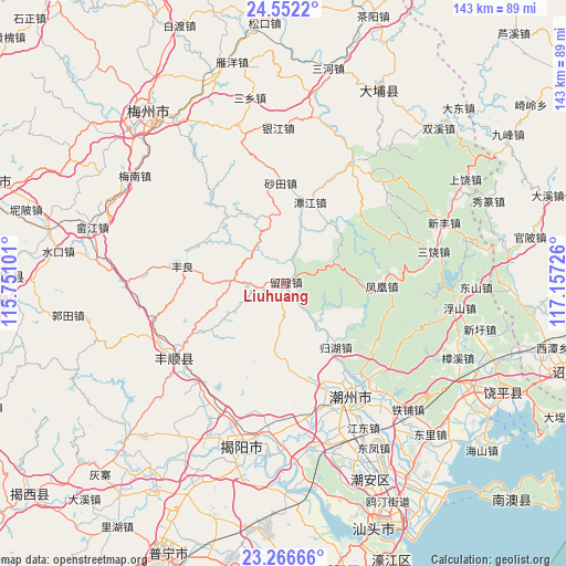
Liuhuang GPS coordinates[2]
23° 54' 39.708" North, 116° 27' 14.868" East
| Map corner | latitude | longitude |
|---|---|---|
| Upper-left | 24.5522°, | 115.75101° |
| Center: | 23.91103°, | 116.45413° |
| Lower-right: | 23.26666°, | 117.15726° |
| Map W x H: | 142.9×142.9 km | = 88.8×88.8mi |
| max Lat: | 53.31946° ⇑90.7% North |
| Liuhuang: | 23.91103° |
| min Lat: | ⇓9.3% South 18.22056° |
| min Long | Liuhuang | max Long |
| 75.07348° | 116.45413° | 134.28917° |
| W 62.8%⇐ | ⇒37.2% E |
Elevation
Elevation of Liuhuang is 20 m = 66 ft, and this is 464.8 m = 1525 ft below average elevation for this country.
| Max E: |
5622 m = 18445 ft | 82.9% |
| Avg. | 484.8 m = 1591 ft | |
| Liuhuang | 20 m = 66 ft | |
Min E: |
-3 m = -10 ft | 17.1% |
See also: China elevation on elevation.city.
Geographical zone
Liuhuang is located in North temperate zone (between Tropic of Cancer and the Arctic Circle). Distance of this Northern Tropic circle is 52.7 km =32.7 mi to South.| Distance of | km | miles | from Liuhuang |
|---|---|---|---|
| North Pole | 7348.4 | 4566.1 | to North |
| Arctic Circle | 4742.5 | 2946.9 | to North |
| Tropic Cancer | 52.7 | 32.7 | to South |
| Equator | 2658.7 | 1652 | to South |


Nearby cities:
15 places around Liuhuang: (largest is in red/bold)
• Chifeng
13.6 km =8.5 mi,  139°
139°
• Dalonghua
22.1 km =13.7 mi,  319°
319°
• Dengtang
26.5 km =16.5 mi,  163°
163°
• Fenghuang
25 km =15.5 mi,  90°
90°
• Fengliang
26 km =16.2 mi,  280°
280°
• Guihu
20.7 km =12.9 mi, 140°
• Huangjin
12.3 km =7.6 mi, 318°
• Jingmen
20.2 km =12.6 mi,  331°
331°
• Longgang
25 km =15.5 mi,  292°
292°
• Pantian
13.4 km =8.3 mi,  273°
273°
• Shatian
25.8 km =16 mi,  358°
358°
• Tanjiang
21.9 km =13.6 mi,  18°
18°
• Tanshan
19 km =11.8 mi,  45°
45°
• Wenci
27.1 km =16.8 mi,  125°
125°
• Xiaosheng
17.3 km =10.7 mi,  0°
0°
Sources, notices
• [Note1] Compared only with cities in China existing in our database
• [Src1] Map data: © OpenStreetMap contributors (CC-BY-SA)
• [Src2] Other city data from geonames.org with taken over terms of usage.
• [Src3] Geographical zone / Annual Mean Temperature by Robert A. Rohde @ Wikipedia
