Fengtai geodata
Fengtai (Beijing) is a seat of a third-order administrative division; located in China in Asia/Shanghai (GMT+8) time zone. In our database, there are 1268 cities with bigger population. Compared to other cities in China, 85.9% of cities are located further ↓South; 61.6% of cities are located further ←West and 69.7% of cities have higher elevation than Fengtai. Note1


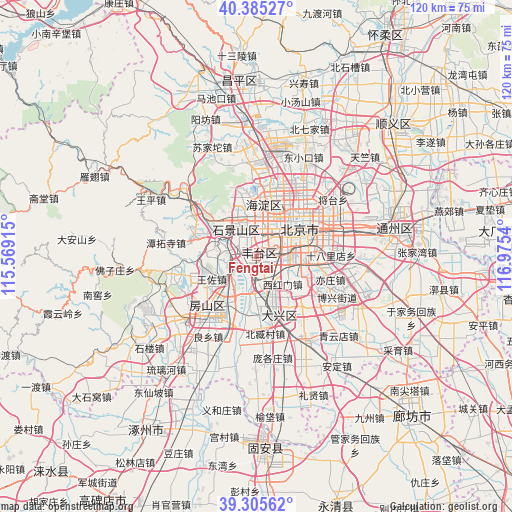
Fengtai GPS coordinates[2]
39° 50' 51.252" North, 116° 16' 20.172" East
| Map corner | latitude | longitude |
|---|---|---|
| Upper-left | 40.38527°, | 115.56915° |
| Center: | 39.84757°, | 116.27227° |
| Lower-right: | 39.30562°, | 116.9754° |
| Map W x H: | 120×120 km | = 74.6×74.6mi |
| max Lat: | 53.31946° ⇑14.1% North |
| Fengtai: | 39.84757° |
| min Lat: | ⇓85.9% South 18.22056° |
| min Long | Fengtai | max Long |
| 75.07348° | 116.27227° | 134.28917° |
| W 61.6%⇐ | ⇒38.4% E |
Elevation
Elevation of Fengtai is 53 m = 174 ft, and this is 431.8 m = 1417 ft below average elevation for this country.
| Max E: |
5622 m = 18445 ft | 69.7% |
| Avg. | 484.8 m = 1591 ft | |
| Fengtai | 53 m = 174 ft | |
Min E: |
-3 m = -10 ft | 30.3% |
See also: China elevation on elevation.city.
Geographical zone
Fengtai is located in North temperate zone (between Tropic of Cancer and the Arctic Circle). Distance of this Northern Tropic circle is 1824.7 km =1133.8 mi to South.| Distance of | km | miles | from Fengtai |
|---|---|---|---|
| North Pole | 5576.4 | 3465 | to North |
| Arctic Circle | 2970.5 | 1845.8 | to North |
| Tropic Cancer | 1824.7 | 1133.8 | to South |
| Equator | 4430.6 | 2753 | to South |


Nearby cities:
15 places around Fengtai: (largest is in red/bold)
• Babaoshan
6.9 km =4.3 mi,  329°
329°
• Baizhifang
7.8 km =4.8 mi,  59°
59°
• Beijing
12.6 km =7.8 mi, 57°
• Dahongmen
10.9 km =6.8 mi,  96°
96°
• Daxing
12.8 km =8 mi,  158°
158°
• Huaxiang
4.9 km =3 mi,  111°
111°
• Jinrongjie
10.1 km =6.3 mi,  44°
44°
• Longtan
13.8 km =8.6 mi,  73°
73°
• Lugouqiao
2.4 km =1.5 mi,  10°
10°
• Lugu
7 km =4.3 mi,  320°
320°
• Nanyuan
11.2 km =7 mi,  115°
115°
• Sijiqing
11.5 km =7.1 mi,  357°
357°
• Wangzuo
10.9 km =6.8 mi,  245°
245°
• Xihongmen
8.8 km =5.5 mi,  135°
135°
• Xincun
2.8 km =1.7 mi, 110°
Sources, notices
• [Note1] Compared only with cities in China existing in our database
• [Src1] Map data: © OpenStreetMap contributors (CC-BY-SA)
• [Src2] Other city data from geonames.org with taken over terms of usage.
• [Src3] Geographical zone / Annual Mean Temperature by Robert A. Rohde @ Wikipedia
