Leigongta geodata
Leigongta (Hunan) is a seat of a fourth-order administrative division; located in China in Asia/Shanghai (GMT+8) time zone. In our database, there are 1268 cities with bigger population. Compared to other cities in China, 56.4% of cities are located further ↑North; 63.6% of cities are located further →East and 66.8% of cities have higher elevation than Leigongta. Note1


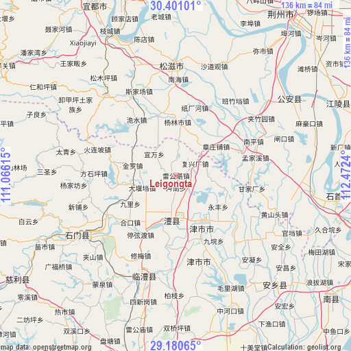
Leigongta GPS coordinates[2]
29° 47' 33.684" North, 111° 46' 9.372" East
| Map corner | latitude | longitude |
|---|---|---|
| Upper-left | 30.40101°, | 111.06615° |
| Center: | 29.79269°, | 111.76927° |
| Lower-right: | 29.18065°, | 112.4724° |
| Map W x H: | 135.7×135.7 km | = 84.3×84.3mi |
| max Lat: | 53.31946° ⇑56.4% North |
| Leigongta: | 29.79269° |
| min Lat: | ⇓43.6% South 18.22056° |
| min Long | Leigongta | max Long |
| 75.07348° | 111.76927° | 134.28917° |
| W 36.4%⇐ | ⇒63.6% E |
Elevation
Elevation of Leigongta is 65 m = 213 ft, and this is 419.8 m = 1377 ft below average elevation for this country.
| Max E: |
5622 m = 18445 ft | 66.8% |
| Avg. | 484.8 m = 1591 ft | |
| Leigongta | 65 m = 213 ft | |
Min E: |
-3 m = -10 ft | 33.2% |
See also: China elevation on elevation.city.
Geographical zone
Leigongta is located in North temperate zone (between Tropic of Cancer and the Arctic Circle). Distance of this Northern Tropic circle is 706.7 km =439.1 mi to South.| Distance of | km | miles | from Leigongta |
|---|---|---|---|
| North Pole | 6694.4 | 4159.7 | to North |
| Arctic Circle | 4088.5 | 2540.5 | to North |
| Tropic Cancer | 706.7 | 439.1 | to South |
| Equator | 3312.6 | 2058.4 | to South |


Nearby cities:
15 places around Leigongta: (largest is in red/bold)
• Cennan
4.8 km =3 mi,  180°
180°
• Chexi
11.3 km =7 mi,  221°
221°
• Daping
19 km =11.8 mi, 219°
• Dayandang
14 km =8.7 mi,  250°
250°
• Fuxingchang
8.7 km =5.4 mi,  57°
57°
• Jinluo
16.6 km =10.3 mi,  276°
276°
• Lidong
17.4 km =10.8 mi,  162°
162°
• Liyang
15.8 km =9.8 mi,  186°
186°
• Li’nan
19.5 km =12.1 mi, 183°
• Mengxi
6.6 km =4.1 mi,  136°
136°
• Shuanglong
12.8 km =8 mi,  76°
76°
• Yanjing
5.6 km =3.5 mi,  350°
350°
• Yiwan
11.9 km =7.4 mi,  314°
314°
• Zhangzhuangpu
19.1 km =11.9 mi,  53°
53°
• Zhongwu
9.5 km =5.9 mi,  257°
257°
Sources, notices
• [Note1] Compared only with cities in China existing in our database
• [Src1] Map data: © OpenStreetMap contributors (CC-BY-SA)
• [Src2] Other city data from geonames.org with taken over terms of usage.
• [Src3] Geographical zone / Annual Mean Temperature by Robert A. Rohde @ Wikipedia
