Chengxiang geodata
Chengxiang (Fujian) is a seat of a fourth-order administrative division; located in China in Asia/Shanghai (GMT+8) time zone. In our database, there are 1268 cities with bigger population. Compared to other cities in China, 84.5% of cities are located further ↑North; 71.2% of cities are located further ←West and 81.7% of cities have lower elevation than Chengxiang. Note1


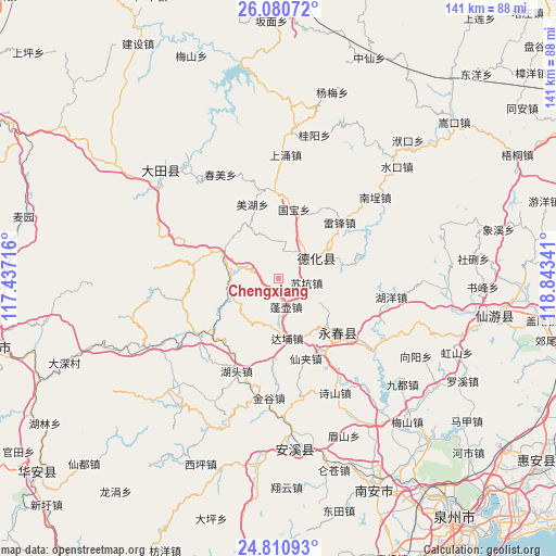
Chengxiang GPS coordinates[2]
25° 26' 51" North, 118° 8' 25.008" East
| Map corner | latitude | longitude |
|---|---|---|
| Upper-left | 26.08072°, | 117.43716° |
| Center: | 25.4475°, | 118.14028° |
| Lower-right: | 24.81093°, | 118.84341° |
| Map W x H: | 141.2×141.2 km | = 87.7×87.7mi |
| max Lat: | 53.31946° ⇑84.5% North |
| Chengxiang: | 25.4475° |
| min Lat: | ⇓15.5% South 18.22056° |
| min Long | Chengxiang | max Long |
| 75.07348° | 118.14028° | 134.28917° |
| W 71.2%⇐ | ⇒28.8% E |
Elevation
Elevation of Chengxiang is 775 m = 2543 ft, and this is 290.2 m = 952 ft above average elevation for this country.
| Max E: |
5622 m = 18445 ft | 18.3% |
| Chengxiang | 775 m 2543 ft | |
| Avg. | 484.8 m = 1591 ft | |
Min E: |
-3 m = -10 ft | 81.7% |
See also: China elevation on elevation.city.
Geographical zone
Chengxiang is located in North temperate zone (between Tropic of Cancer and the Arctic Circle). Distance of this Northern Tropic circle is 223.6 km =138.9 mi to South.| Distance of | km | miles | from Chengxiang |
|---|---|---|---|
| North Pole | 7177.6 | 4460 | to North |
| Arctic Circle | 4571.7 | 2840.7 | to North |
| Tropic Cancer | 223.6 | 138.9 | to South |
| Equator | 2829.5 | 1758.2 | to South |


Nearby cities:
15 places around Chengxiang: (largest is in red/bold)
• Dabu
15.3 km =9.5 mi,  171°
171°
• Gaide
7.5 km =4.7 mi,  27°
27°
• Guobao
18.5 km =11.5 mi,  11°
11°
• Jiefu
17.2 km =10.7 mi,  96°
96°
• Jindou
4.2 km =2.6 mi,  246°
246°
• Kengzikou
12.7 km =7.9 mi,  257°
257°
• Penghu
7.3 km =4.5 mi, 170°
• Sanban
14.8 km =9.2 mi,  88°
88°
• Shigu
16.1 km =10 mi,  138°
138°
• Sukeng
7.6 km =4.7 mi, 100°
• Wufeng
11.8 km =7.3 mi,  121°
121°
• Wulijie
18.5 km =11.5 mi,  134°
134°
• Xiayang
15.2 km =9.4 mi,  290°
290°
• Xunzhong
11.2 km =7 mi,  62°
62°
• Yudou
12 km =7.5 mi,  239°
239°
Sources, notices
• [Note1] Compared only with cities in China existing in our database
• [Src1] Map data: © OpenStreetMap contributors (CC-BY-SA)
• [Src2] Other city data from geonames.org with taken over terms of usage.
• [Src3] Geographical zone / Annual Mean Temperature by Robert A. Rohde @ Wikipedia
