Donghe geodata
Donghe (Hainan) is a seat of a fourth-order administrative division; located in China in Asia/Shanghai (GMT+8) time zone. In our database, there are 1268 cities with bigger population. Compared to other cities in China, 99.6% of cities are located further ↑North; 76.6% of cities are located further →East and 57.9% of cities have higher elevation than Donghe. Note1


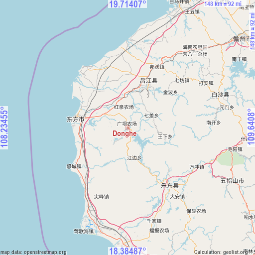
Donghe GPS coordinates[2]
19° 3' 2.88" North, 108° 56' 15.612" East
| Map corner | latitude | longitude |
|---|---|---|
| Upper-left | 19.71407°, | 108.23455° |
| Center: | 19.0508°, | 108.93767° |
| Lower-right: | 18.38487°, | 109.6408° |
| Map W x H: | 147.8×147.8 km | = 91.8×91.8mi |
| max Lat: | 53.31946° ⇑99.6% North |
| Donghe: | 19.0508° |
| min Lat: | ⇓0.4% South 18.22056° |
| min Long | Donghe | max Long |
| 75.07348° | 108.93767° | 134.28917° |
| W 23.4%⇐ | ⇒76.6% E |
Elevation
Elevation of Donghe is 112 m = 367 ft, and this is 372.8 m = 1223 ft below average elevation for this country.
| Max E: |
5622 m = 18445 ft | 57.9% |
| Avg. | 484.8 m = 1591 ft | |
| Donghe | 112 m = 367 ft | |
Min E: |
-3 m = -10 ft | 42.1% |
See also: China elevation on elevation.city.
Geographical zone
Donghe is located in North Torrid zone (between Equator and Tropic of Cancer). Distance of this Northern Tropic circle is 487.7 km =303 mi to North.| Distance of | km | miles | from Donghe |
|---|---|---|---|
| North Pole | 7888.8 | 4901.9 | to North |
| Arctic Circle | 5282.9 | 3282.6 | to North |
| Tropic Cancer | 487.7 | 303 | to North |
| Equator | 2118.3 | 1316.3 | to South |


Nearby cities:
15 places around Donghe: (largest is in red/bold)
• Bangxi
39.3 km =24.4 mi,  25°
25°
• Banqiao
38.5 km =23.9 mi,  223°
223°
• Baoyou
41.6 km =25.8 mi,  143°
143°
• Basuo
30.1 km =18.7 mi,  279°
279°
• Chahe
20.2 km =12.6 mi,  0°
0°
• Changhua
41.5 km =25.8 mi,  318°
318°
• Gancheng
38.3 km =23.8 mi,  234°
234°
• Jinbo
32.3 km =20.1 mi,  49°
49°
• Qicha
15.3 km =9.5 mi,  62°
62°
• Sanjia
28.7 km =17.8 mi, 318°
• Shilu
26 km =16.2 mi, 26°
• Shiyuetian
30.9 km =19.2 mi, 2°
• Sigeng
34 km =21.1 mi,  305°
305°
• Tian’an
4.6 km =2.9 mi, 221°
• Wulie
30.7 km =19.1 mi,  328°
328°
Sources, notices
• [Note1] Compared only with cities in China existing in our database
• [Src1] Map data: © OpenStreetMap contributors (CC-BY-SA)
• [Src2] Other city data from geonames.org with taken over terms of usage.
• [Src3] Geographical zone / Annual Mean Temperature by Robert A. Rohde @ Wikipedia
