Bengkouling geodata
Bengkouling (Anhui) is a seat of a fourth-order administrative division; located in China in Asia/Shanghai (GMT+8) time zone. In our database, there are 1268 cities with bigger population. Compared to other cities in China, 53.1% of cities are located further ↓South; 78.3% of cities are located further ←West and 62.9% of cities have higher elevation than Bengkouling. Note1


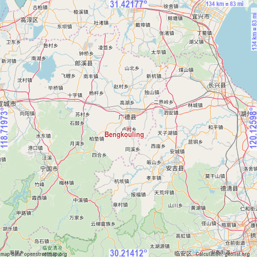
Bengkouling GPS coordinates[2]
30° 49' 11.424" North, 119° 25' 22.26" East
| Map corner | latitude | longitude |
|---|---|---|
| Upper-left | 31.42177°, | 118.71973° |
| Center: | 30.81984°, | 119.42285° |
| Lower-right: | 30.21412°, | 120.12598° |
| Map W x H: | 134.3×134.3 km | = 83.5×83.5mi |
| max Lat: | 53.31946° ⇑46.9% North |
| Bengkouling: | 30.81984° |
| min Lat: | ⇓53.1% South 18.22056° |
| min Long | Bengkouling | max Long |
| 75.07348° | 119.42285° | 134.28917° |
| W 78.3%⇐ | ⇒21.7% E |
Elevation
Elevation of Bengkouling is 83 m = 272 ft, and this is 401.8 m = 1318 ft below average elevation for this country.
| Max E: |
5622 m = 18445 ft | 62.9% |
| Avg. | 484.8 m = 1591 ft | |
| Bengkouling | 83 m = 272 ft | |
Min E: |
-3 m = -10 ft | 37.1% |
See also: China elevation on elevation.city.
Geographical zone
Bengkouling is located in North temperate zone (between Tropic of Cancer and the Arctic Circle). Distance of this Northern Tropic circle is 820.9 km =510.1 mi to South.| Distance of | km | miles | from Bengkouling |
|---|---|---|---|
| North Pole | 6580.2 | 4088.7 | to North |
| Arctic Circle | 3974.3 | 2469.5 | to North |
| Tropic Cancer | 820.9 | 510.1 | to South |
| Equator | 3426.8 | 2129.3 | to South |


Nearby cities:
15 places around Bengkouling: (largest is in red/bold)
• Baidian
17.7 km =11 mi,  254°
254°
• Cishangang
13 km =8.1 mi,  39°
39°
• Dongchong
22.7 km =14.1 mi,  348°
348°
• Dongting
10.9 km =6.8 mi,  57°
57°
• Erjieling
23.1 km =14.4 mi,  51°
51°
• Fengqiao
11.4 km =7.1 mi,  281°
281°
• Gaoyu
17.7 km =11 mi,  89°
89°
• Guishan
22.5 km =14 mi,  147°
147°
• Huagu
16.2 km =10.1 mi,  310°
310°
• Qiucun
21.1 km =13.1 mi,  3°
3°
• Sanlidian
7.4 km =4.6 mi,  342°
342°
• Sihe
20.6 km =12.8 mi,  229°
229°
• Taozhou
9.7 km =6 mi, 351°
• Ximu
17.7 km =11 mi,  119°
119°
• Zhangwu
12.4 km =7.7 mi,  111°
111°
Sources, notices
• [Note1] Compared only with cities in China existing in our database
• [Src1] Map data: © OpenStreetMap contributors (CC-BY-SA)
• [Src2] Other city data from geonames.org with taken over terms of usage.
• [Src3] Geographical zone / Annual Mean Temperature by Robert A. Rohde @ Wikipedia
