Mountain geodata
Mountain (San Andres y Providencia) is a populated place; located in Colombia in America/Bogota (GMT-5) time zone. With population of 2,404 people, there are 749 cities with bigger population in this country. Compared to other cities in Colombia, 99.9% of cities are located further ↓South; 99.8% of cities are located further →East and 84.6% of cities have higher elevation than Mountain. Note1


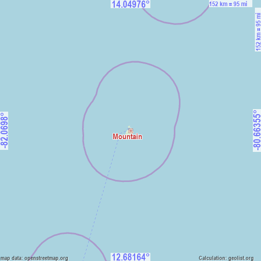
Mountain GPS coordinates[2]
13° 22' 0.012" North, 81° 22' 0.012" West
| Map corner | latitude | longitude |
|---|---|---|
| Upper-left | 14.04976°, | -82.0698° |
| Center: | 13.36667°, | -81.36667° |
| Lower-right: | 12.68164°, | -80.66355° |
| Map W x H: | 152.1×152.1 km | = 94.5×94.5mi |
| max Lat: | 13.38166° ⇑0.1% North |
| Mountain: | 13.36667° |
| min Lat: | ⇓99.9% South -4.21528° |
| min Long | Mountain | max Long |
| -81.70636° | -81.36667° | -67.06996° |
| W 0.2%⇐ | ⇒99.8% E |
Elevation
Elevation of Mountain is 64 m = 210 ft, and this is 1085.3 m = 3561 ft below average elevation for this country.
| Max E: |
3342 m = 10965 ft | 84.6% |
| Avg. | 1149.3 m = 3771 ft | |
| Mountain | 64 m = 210 ft | |
Min E: |
1 m = 3 ft | 15.4% |
See also: Colombia elevation on elevation.city.
Geographical zone
Mountain is located in North Torrid zone (between Equator and Tropic of Cancer). Distance of this Northern Tropic circle is 1119.7 km =695.7 mi to North.| Distance of | km | miles | from Mountain |
|---|---|---|---|
| North Pole | 8520.8 | 5294.6 | to North |
| Arctic Circle | 5914.9 | 3675.3 | to North |
| Tropic Cancer | 1119.7 | 695.7 | to North |
| Equator | 1486.2 | 923.5 | to South |


Nearby cities:
2 places around Mountain: (largest is in red/bold)
• San Andrés
94.6 km =58.8 mi,  202°
202°
• Santa Isabel
1.7 km =1.1 mi,  351°
351°
Sources, notices
• [Note1] Compared only with cities in Colombia existing in our database
• [Src1] Map data: © OpenStreetMap contributors (CC-BY-SA)
• [Src2] Other city data from geonames.org with taken over terms of usage.
• [Src3] Geographical zone / Annual Mean Temperature by Robert A. Rohde @ Wikipedia
