Flying Fish Cove geodata
Flying Fish Cove is a capital of a political entity; located in Christmas Island in Indian/Christmas (GMT+7) time zone. With population of 500 people, there are 0 cities with bigger population in this country. Note1


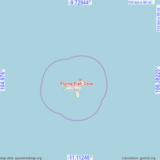
Flying Fish Cove GPS coordinates[2]
10° 25' 18.192" South, 105° 40' 44.832" East
| Map corner | latitude | longitude |
|---|---|---|
| Upper-left | -9.72944°, | 104.976° |
| Center: | -10.42172°, | 105.67912° |
| Lower-right: | -11.11246°, | 106.38225° |
| Map W x H: | 153.8×153.8 km | = 95.6×95.6mi |
Elevation
Elevation of Flying Fish Cove is 135 m = 443 ft, and this is 0 m = 0 ft above average elevation for this country.
See also: Christmas Island elevation on elevation.city.
Geographical zone
Flying Fish Cove is located in South Torrid zone (between Equator and Tropic of Capricorn). Distance of Equator is 1158.8 km =720 mi to North.| Distance of | km | miles | from Flying Fish Cove |
|---|---|---|---|
| Equator | 1158.8 | 720 | to North |
| Tropic Capricorn | 1447.1 | 899.2 | to South |
| Antarctic Circle | 6242.4 | 3878.8 | to South |
| South Pole | 8848.3 | 5498.1 | to South |


Nearby cities:
0 places around Flying Fish Cove: (largest is in red/bold)
There is no such city in our database.
Sources, notices
• [Note1] Compared only with cities in Christmas Island existing in our database
• [Src1] Map data: © OpenStreetMap contributors (CC-BY-SA)
• [Src2] Other city data from geonames.org with taken over terms of usage.
• [Src3] Geographical zone / Annual Mean Temperature by Robert A. Rohde @ Wikipedia
