Obecnice geodata
Obecnice (Central Bohemia) is a populated place; located in Czech Republic in Europe/Prague (GMT+2) time zone. With population of 1,174 people, there are 1100 cities with bigger population in this country. Compared to other cities in Czech Republic, 52.6% of cities are located further ↑North; 84.9% of cities are located further →East and 88.9% of cities have lower elevation than Obecnice. Note1


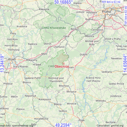
Obecnice GPS coordinates[2]
49° 42' 58.14" North, 13° 56' 50.316" East
| Map corner | latitude | longitude |
|---|---|---|
| Upper-left | 50.16865°, | 13.24419° |
| Center: | 49.71615°, | 13.94731° |
| Lower-right: | 49.2594°, | 14.65044° |
| Map W x H: | 101.1×101.1 km | = 62.8×62.8mi |
| max Lat: | 51.01104° ⇑52.6% North |
| Obecnice: | 49.71615° |
| min Lat: | ⇓47.4% South 48.60378° |
| min Long | Obecnice | max Long |
| 12.17577° | 13.94731° | 18.82683° |
| W 15.1%⇐ | ⇒84.9% E |
Elevation
Elevation of Obecnice is 523 m = 1716 ft, and this is 171 m = 561 ft above average elevation for this country.
| Max E: |
901 m = 2956 ft | 11.1% |
| Obecnice | 523 m 1716 ft | |
| Avg. | 352 m = 1155 ft | |
Min E: |
136 m = 446 ft | 88.9% |
See also: Czech Republic elevation on elevation.city.
Geographical zone
Obecnice is located in North temperate zone (between Tropic of Cancer and the Arctic Circle). Distance of this North polar circle is 1873.3 km =1164 mi to North.| Distance of | km | miles | from Obecnice |
|---|---|---|---|
| North Pole | 4479.1 | 2783.2 | to North |
| Arctic Circle | 1873.3 | 1164 | to North |
| Tropic Cancer | 2922 | 1815.6 | to South |
| Equator | 5527.9 | 3434.9 | to South |


Nearby cities:
15 places around Obecnice: (largest is in red/bold)
• Bohutín
6.7 km =4.2 mi,  182°
182°
• Cheznovice
13.6 km =8.5 mi,  300°
300°
• Drahlín
2.4 km =1.5 mi,  40°
40°
• Hluboš
6.2 km =3.9 mi,  57°
57°
• Hořovice
13.7 km =8.5 mi,  346°
346°
• Jince
8.1 km =5 mi,  16°
16°
• Komárov
12 km =7.5 mi,  326°
326°
• Milín
11.8 km =7.3 mi,  142°
142°
• Osek
13.2 km =8.2 mi, 331°
• Pičín
8.6 km =5.3 mi,  67°
67°
• Podlesí
3.8 km =2.4 mi, 139°
• Podluhy
11.3 km =7 mi, 347°
• Příbram
5.4 km =3.4 mi,  122°
122°
• Rosovice
12.5 km =7.8 mi, 68°
• Zaječov
10 km =6.2 mi,  310°
310°
Sources, notices
• [Note1] Compared only with cities in Czech Republic existing in our database
• [Src1] Map data: © OpenStreetMap contributors (CC-BY-SA)
• [Src2] Other city data from geonames.org with taken over terms of usage.
• [Src3] Geographical zone / Annual Mean Temperature by Robert A. Rohde @ Wikipedia
