Hrotovice geodata
Hrotovice (Vysočina) is a populated place; located in Czech Republic in Europe/Prague (GMT+2) time zone. With population of 1,780 people, there are 714 cities with bigger population in this country. Compared to other cities in Czech Republic, 86.2% of cities are located further ↑North; 56.1% of cities are located further ←West and 68.8% of cities have lower elevation than Hrotovice. Note1


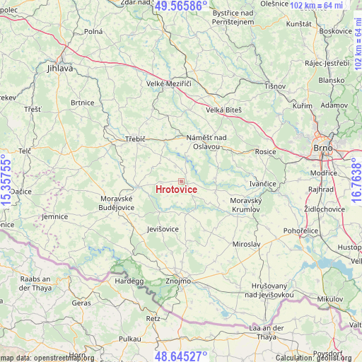
Hrotovice GPS coordinates[2]
49° 6' 27.72" North, 16° 3' 38.412" East
| Map corner | latitude | longitude |
|---|---|---|
| Upper-left | 49.56586°, | 15.35755° |
| Center: | 49.1077°, | 16.06067° |
| Lower-right: | 48.64527°, | 16.7638° |
| Map W x H: | 102.4×102.4 km | = 63.6×63.6mi |
| max Lat: | 51.01104° ⇑86.2% North |
| Hrotovice: | 49.1077° |
| min Lat: | ⇓13.8% South 48.60378° |
| min Long | Hrotovice | max Long |
| 12.17577° | 16.06067° | 18.82683° |
| W 56.1%⇐ | ⇒43.9% E |
Elevation
Elevation of Hrotovice is 411 m = 1348 ft, and this is 59 m = 194 ft above average elevation for this country.
| Max E: |
901 m = 2956 ft | 31.2% |
| Hrotovice | 411 m 1348 ft | |
| Avg. | 352 m = 1155 ft | |
Min E: |
136 m = 446 ft | 68.8% |
See also: Czech Republic elevation on elevation.city.
Geographical zone
Hrotovice is located in North temperate zone (between Tropic of Cancer and the Arctic Circle). Distance of this North polar circle is 1940.9 km =1206 mi to North.| Distance of | km | miles | from Hrotovice |
|---|---|---|---|
| North Pole | 4546.8 | 2825.2 | to North |
| Arctic Circle | 1940.9 | 1206 | to North |
| Tropic Cancer | 2854.3 | 1773.6 | to South |
| Equator | 5460.3 | 3392.9 | to South |


Nearby cities:
15 places around Hrotovice: (largest is in red/bold)
• Březník
12.1 km =7.5 mi,  53°
53°
• Dalešice
2.8 km =1.7 mi,  33°
33°
• Dukovany
10 km =6.2 mi,  107°
107°
• Hartvíkovice
7.4 km =4.6 mi,  17°
17°
• Jaroměřice nad Rokytnou
12.3 km =7.6 mi,  262°
262°
• Jevišovice
14.3 km =8.9 mi,  201°
201°
• Mohelno
9.5 km =5.9 mi,  85°
85°
• Myslibořice
5.6 km =3.5 mi, 264°
• Náměšť nad Oslavou
13.2 km =8.2 mi, 32°
• Rouchovany
5.4 km =3.4 mi,  140°
140°
• Studenec
10.3 km =6.4 mi,  1°
1°
• Tavíkovice
8.8 km =5.5 mi,  159°
159°
• Valeč
4.5 km =2.8 mi,  335°
335°
• Vladislav
12.6 km =7.8 mi, 335°
• Výčapy
13.9 km =8.6 mi,  286°
286°
Sources, notices
• [Note1] Compared only with cities in Czech Republic existing in our database
• [Src1] Map data: © OpenStreetMap contributors (CC-BY-SA)
• [Src2] Other city data from geonames.org with taken over terms of usage.
• [Src3] Geographical zone / Annual Mean Temperature by Robert A. Rohde @ Wikipedia
