Havraň geodata
Havraň (Ústecký kraj) is a populated place; located in Czech Republic in Europe/Prague (GMT+2) time zone. With population of 515 people, there are 2449 cities with bigger population in this country. Compared to other cities in Czech Republic, 88.9% of cities are located further ↓South; 90.3% of cities are located further →East and 78% of cities have higher elevation than Havraň. Note1


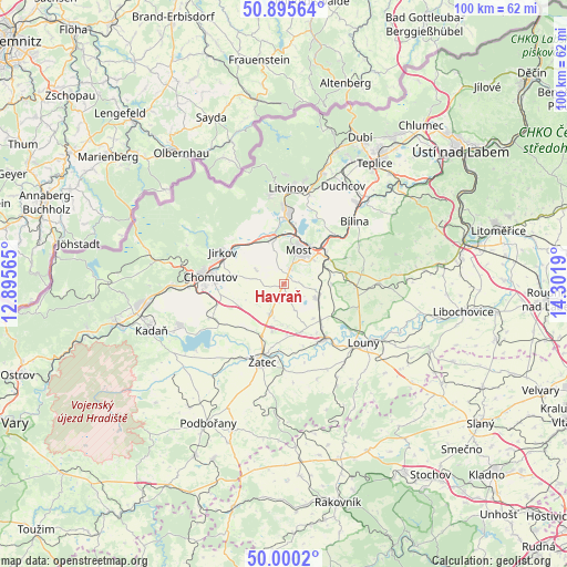
Havraň GPS coordinates[2]
50° 27' 0.144" North, 13° 35' 55.572" East
| Map corner | latitude | longitude |
|---|---|---|
| Upper-left | 50.89564°, | 12.89565° |
| Center: | 50.45004°, | 13.59877° |
| Lower-right: | 50.0002°, | 14.3019° |
| Map W x H: | 99.6×99.6 km | = 61.9×61.9mi |
| max Lat: | 51.01104° ⇑11.1% North |
| Havraň: | 50.45004° |
| min Lat: | ⇓88.9% South 48.60378° |
| min Long | Havraň | max Long |
| 12.17577° | 13.59877° | 18.82683° |
| W 9.7%⇐ | ⇒90.3% E |
Elevation
Elevation of Havraň is 236 m = 774 ft, and this is 116 m = 381 ft below average elevation for this country.
| Max E: |
901 m = 2956 ft | 78% |
| Avg. | 352 m = 1155 ft | |
| Havraň | 236 m = 774 ft | |
Min E: |
136 m = 446 ft | 22% |
See also: Czech Republic elevation on elevation.city.
Geographical zone
Havraň is located in North temperate zone (between Tropic of Cancer and the Arctic Circle). Distance of this North polar circle is 1791.7 km =1113.3 mi to North.| Distance of | km | miles | from Havraň |
|---|---|---|---|
| North Pole | 4397.5 | 2732.5 | to North |
| Arctic Circle | 1791.7 | 1113.3 | to North |
| Tropic Cancer | 3003.6 | 1866.3 | to South |
| Equator | 5609.5 | 3485.6 | to South |


Nearby cities:
15 places around Havraň: (largest is in red/bold)
• Bečov
8.4 km =5.2 mi,  90°
90°
• Braňany
12.6 km =7.8 mi,  34°
34°
• Březno
13.7 km =8.5 mi,  246°
246°
• Chomutov
12.9 km =8 mi,  275°
275°
• Droužkovice
12.2 km =7.6 mi,  259°
259°
• Jirkov
12 km =7.5 mi,  297°
297°
• Most
6.5 km =4 mi,  24°
24°
• Obrnice
9.2 km =5.7 mi,  48°
48°
• Otvice
11 km =6.8 mi,  288°
288°
• Postoloprty
12.5 km =7.8 mi,  143°
143°
• Staňkovice
11.3 km =7 mi,  190°
190°
• Strupčice
5.4 km =3.4 mi, 295°
• Vysoká Pec
12 km =7.5 mi,  310°
310°
• Údlice
10.1 km =6.3 mi, 264°
• Žatec
14.2 km =8.8 mi,  195°
195°
Sources, notices
• [Note1] Compared only with cities in Czech Republic existing in our database
• [Src1] Map data: © OpenStreetMap contributors (CC-BY-SA)
• [Src2] Other city data from geonames.org with taken over terms of usage.
• [Src3] Geographical zone / Annual Mean Temperature by Robert A. Rohde @ Wikipedia
