Buštěhrad geodata
Buštěhrad (Central Bohemia) is a populated place; located in Czech Republic in Europe/Prague (GMT+2) time zone. With population of 2,295 people, there are 564 cities with bigger population in this country. Compared to other cities in Czech Republic, 75.6% of cities are located further ↓South; 80% of cities are located further →East and 52.6% of cities have higher elevation than Buštěhrad. Note1


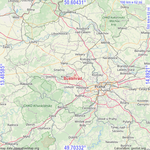
Buštěhrad GPS coordinates[2]
50° 9' 21.384" North, 14° 11' 20.292" East
| Map corner | latitude | longitude |
|---|---|---|
| Upper-left | 50.60431°, | 13.48585° |
| Center: | 50.15594°, | 14.18897° |
| Lower-right: | 49.70332°, | 14.8921° |
| Map W x H: | 100.2×100.2 km | = 62.3×62.3mi |
| max Lat: | 51.01104° ⇑24.4% North |
| Buštěhrad: | 50.15594° |
| min Lat: | ⇓75.6% South 48.60378° |
| min Long | Buštěhrad | max Long |
| 12.17577° | 14.18897° | 18.82683° |
| W 20%⇐ | ⇒80% E |
Elevation
Elevation of Buštěhrad is 323 m = 1060 ft, and this is 29 m = 95 ft below average elevation for this country.
| Max E: |
901 m = 2956 ft | 52.6% |
| Avg. | 352 m = 1155 ft | |
| Buštěhrad | 323 m = 1060 ft | |
Min E: |
136 m = 446 ft | 47.4% |
See also: Czech Republic elevation on elevation.city.
Geographical zone
Buštěhrad is located in North temperate zone (between Tropic of Cancer and the Arctic Circle). Distance of this North polar circle is 1824.4 km =1133.6 mi to North.| Distance of | km | miles | from Buštěhrad |
|---|---|---|---|
| North Pole | 4430.2 | 2752.8 | to North |
| Arctic Circle | 1824.4 | 1133.6 | to North |
| Tropic Cancer | 2970.9 | 1846 | to South |
| Equator | 5576.8 | 3465.3 | to South |


Nearby cities:
15 places around Buštěhrad: (largest is in red/bold)
• Brandýsek
4.2 km =2.6 mi,  332°
332°
• Cvrčovice
3.6 km =2.2 mi,  317°
317°
• Hostouň
4.7 km =2.9 mi,  169°
169°
• Hřebeč
2.8 km =1.7 mi,  218°
218°
• Kladno
6.2 km =3.9 mi,  261°
261°
• Knovíz
7.3 km =4.5 mi, 329°
• Kněževes
6.5 km =4 mi,  128°
128°
• Koleč
5.4 km =3.4 mi,  27°
27°
• Pchery
6.6 km =4.1 mi,  309°
309°
• Stehelčeves
1.8 km =1.1 mi,  4°
4°
• Středokluky
4.2 km =2.6 mi, 129°
• Tuchoměřice
7 km =4.3 mi,  108°
108°
• Velké Přítočno
6.2 km =3.9 mi, 224°
• Vinařice
7.3 km =4.5 mi,  287°
287°
• Zákolany
6.2 km =3.9 mi,  43°
43°
Sources, notices
• [Note1] Compared only with cities in Czech Republic existing in our database
• [Src1] Map data: © OpenStreetMap contributors (CC-BY-SA)
• [Src2] Other city data from geonames.org with taken over terms of usage.
• [Src3] Geographical zone / Annual Mean Temperature by Robert A. Rohde @ Wikipedia
