Linnich geodata
Linnich (North Rhine-Westphalia) is a populated place; located in Germany in Europe/Berlin (GMT+2) time zone. With population of 13,827 people, there are 1154 cities with bigger population in this country. Compared to other cities in Germany, 57.8% of cities are located further ↓South; 99.3% of cities are located further →East and 74.7% of cities have higher elevation than Linnich. Note1
Administrative division(s):
- Level 1: North Rhine-Westphalia
- Level 2: Regierungsbezirk Köln
- Level 3: Kreis Düren
- Level 4: Linnich


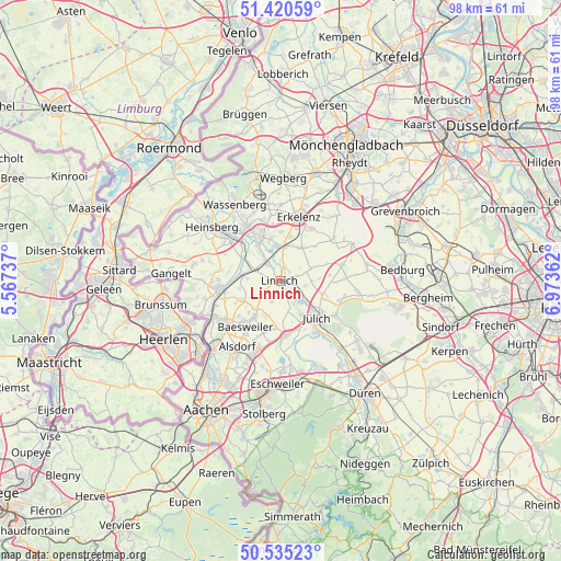
Linnich GPS coordinates[2]
50° 58' 48.072" North, 6° 16' 13.764" East
| Map corner | latitude | longitude |
|---|---|---|
| Upper-left | 51.42059°, | 5.56737° |
| Center: | 50.98002°, | 6.27049° |
| Lower-right: | 50.53523°, | 6.97362° |
| Map W x H: | 98.4×98.4 km | = 61.1×61.1mi |
| max Lat: | 55.01917° ⇑42.2% North |
| Linnich: | 50.98002° |
| min Lat: | ⇓57.8% South 47.40724° |
| min Long | Linnich | max Long |
| 5.92978° | 6.27049° | 14.98853° |
| W 0.7%⇐ | ⇒99.3% E |
Elevation
Elevation of Linnich is 64 m = 210 ft, and this is 185.1 m = 607 ft below average elevation for this country.
| Max E: |
1256 m = 4121 ft | 74.7% |
| Avg. | 249.1 m = 817 ft | |
| Linnich | 64 m = 210 ft | |
Min E: |
-5 m = -16 ft | 25.3% |
See also: Germany elevation on elevation.city.
Geographical zone
Linnich is located in North temperate zone (between Tropic of Cancer and the Arctic Circle). Distance of this North polar circle is 1732.7 km =1076.6 mi to North.| Distance of | km | miles | from Linnich |
|---|---|---|---|
| North Pole | 4338.6 | 2695.9 | to North |
| Arctic Circle | 1732.7 | 1076.6 | to North |
| Tropic Cancer | 3062.5 | 1902.9 | to South |
| Equator | 5668.4 | 3522.2 | to South |


Nearby cities:
15 places around Linnich: (largest is in red/bold)
• Aldenhoven
8.9 km =5.5 mi,  174°
174°
• Alsdorf
13.7 km =8.5 mi,  213°
213°
• Baesweiler
9.7 km =6 mi,  216°
216°
• Dürboslar
8.4 km =5.2 mi,  187°
187°
• Erkelenz
11.5 km =7.1 mi,  15°
15°
• Freialdenhoven
6 km =3.7 mi, 194°
• Geilenkirchen
10.8 km =6.7 mi,  262°
262°
• Hückelhoven
8.9 km =5.5 mi,  339°
339°
• Jülich
9.2 km =5.7 mi,  135°
135°
• Neu-Pattern
10.2 km =6.3 mi,  177°
177°
• Niedermerz
11 km =6.8 mi, 181°
• Schleiden
10.8 km =6.7 mi, 190°
• Siersdorf
9.6 km =6 mi,  198°
198°
• Titz
11.2 km =7 mi,  74°
74°
• Übach-Palenberg
12.4 km =7.7 mi,  236°
236°
Sources, notices
• [Note1] Compared only with cities in Germany existing in our database
• [Src1] Map data: © OpenStreetMap contributors (CC-BY-SA)
• [Src2] Other city data from geonames.org with taken over terms of usage.
• [Src3] Geographical zone / Annual Mean Temperature by Robert A. Rohde @ Wikipedia
