Heupelzen geodata
Heupelzen (Rheinland-Pfalz) is a seat of a fourth-order administrative division; located in Germany in Europe/Berlin (GMT+2) time zone. With population of 312 people, there are 10006 cities with bigger population in this country. Compared to other cities in Germany, 52.5% of cities are located further ↓South; 84.8% of cities are located further →East and 58.7% of cities have lower elevation than Heupelzen. Note1
Administrative division(s):
- Level 1: Rheinland-Pfalz
- Level 3: Landkreis Altenkirchen
- Level 4: Heupelzen


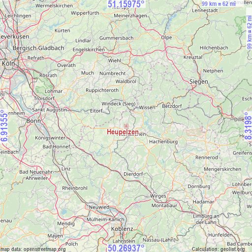
Heupelzen GPS coordinates[2]
50° 43' 0.012" North, 7° 37' 0.012" East
| Map corner | latitude | longitude |
|---|---|---|
| Upper-left | 51.15975°, | 6.91355° |
| Center: | 50.71667°, | 7.61667° |
| Lower-right: | 50.26937°, | 8.3198° |
| Map W x H: | 99×99 km | = 61.5×61.5mi |
| max Lat: | 55.01917° ⇑47.5% North |
| Heupelzen: | 50.71667° |
| min Lat: | ⇓52.5% South 47.40724° |
| min Long | Heupelzen | max Long |
| 5.92978° | 7.61667° | 14.98853° |
| W 15.2%⇐ | ⇒84.8% E |
Elevation
Elevation of Heupelzen is 282 m = 925 ft, and this is 32.9 m = 108 ft above average elevation for this country.
| Max E: |
1256 m = 4121 ft | 41.3% |
| Heupelzen | 282 m 925 ft | |
| Avg. | 249.1 m = 817 ft | |
Min E: |
-5 m = -16 ft | 58.7% |
See also: Germany elevation on elevation.city.
Geographical zone
Heupelzen is located in North temperate zone (between Tropic of Cancer and the Arctic Circle). Distance of this North polar circle is 1762 km =1094.9 mi to North.| Distance of | km | miles | from Heupelzen |
|---|---|---|---|
| North Pole | 4367.9 | 2714.1 | to North |
| Arctic Circle | 1762 | 1094.9 | to North |
| Tropic Cancer | 3033.2 | 1884.7 | to South |
| Equator | 5639.2 | 3504 | to South |


Nearby cities:
15 places around Heupelzen: (largest is in red/bold)
• Almersbach
3.9 km =2.4 mi,  162°
162°
• Altenkirchen
3.8 km =2.4 mi,  152°
152°
• Bachenberg
2.3 km =1.4 mi,  90°
90°
• Birkenbeul
1.9 km =1.2 mi,  0°
0°
• Birnbach
3 km =1.9 mi,  231°
231°
• Busenhausen
1.2 km =0.7 mi, 90°
• Helmenzen
2.5 km =1.6 mi,  174°
174°
• Hemmelzen
3.6 km =2.2 mi,  223°
223°
• Hilgenroth
3 km =1.9 mi,  51°
51°
• Kettenhausen
1.2 km =0.7 mi, 90°
• Niederirsen
3.9 km =2.4 mi,  342°
342°
• Obererbach
3 km =1.9 mi,  72°
72°
• Oberirsen
2.3 km =1.4 mi,  270°
270°
• Wölmersen
1.2 km =0.7 mi, 270°
• Ölsen
2.2 km =1.4 mi,  327°
327°
Sources, notices
• [Note1] Compared only with cities in Germany existing in our database
• [Src1] Map data: © OpenStreetMap contributors (CC-BY-SA)
• [Src2] Other city data from geonames.org with taken over terms of usage.
• [Src3] Geographical zone / Annual Mean Temperature by Robert A. Rohde @ Wikipedia
