Kapingamarangi geodata
Kapingamarangi (Pohnpei) is a seat of a second-order administrative division; located in Micronesia in Pacific/Pohnpei (GMT+11) time zone. In our database, there are 19 cities with bigger population. Compared to other cities in Micronesia, 100% of cities are located further ↑North; 78.3% of cities are located further ←West and 51.7% of cities have higher elevation than Kapingamarangi. Note1


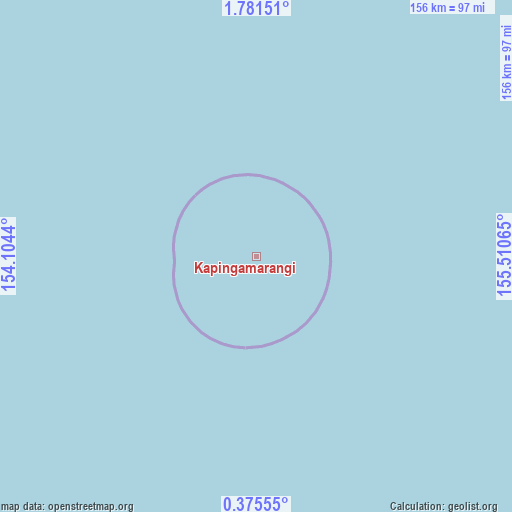
Kapingamarangi GPS coordinates[2]
1° 4' 42.996" North, 154° 48' 27.072" East
| Map corner | latitude | longitude |
|---|---|---|
| Upper-left | 1.78151°, | 154.1044° |
| Center: | 1.07861°, | 154.80752° |
| Lower-right: | 0.37555°, | 155.51065° |
| Map W x H: | 156.3×156.3 km | = 97.1×97.1mi |
| max Lat: | 9.766° ⇑100% North |
| Kapingamarangi: | 1.07861° |
| min Lat: | ⇓0% South 1.07861° |
| min Long | Kapingamarangi | max Long |
| 137.484° | 154.80752° | 163.02609° |
| W 78.3%⇐ | ⇒21.7% E |
Elevation
Elevation of Kapingamarangi is 11 m = 36 ft, and this is 3.8 m = 12 ft below average elevation for this country.
| Max E: |
92 m = 302 ft | 51.7% |
| Avg. | 14.8 m = 49 ft | |
| Kapingamarangi | 11 m = 36 ft | |
Min E: |
1 m = 3 ft | 48.3% |
See also: Micronesia elevation on elevation.city.
Geographical zone
Kapingamarangi is located in North Torrid zone (between Equator and Tropic of Cancer). Distance of Equator is 119.9 km =74.5 mi to South.| Distance of | km | miles | from Kapingamarangi |
|---|---|---|---|
| North Pole | 9887.1 | 6143.6 | to North |
| Arctic Circle | 7281.2 | 4524.3 | to North |
| Tropic Cancer | 2486 | 1544.7 | to North |
| Equator | 119.9 | 74.5 | to South |


Nearby cities:
1 places around Kapingamarangi: (largest is in red/bold)
• Nukuoro
307.2 km =190.9 mi,  3°
3°
Sources, notices
• [Note1] Compared only with cities in Micronesia existing in our database
• [Src1] Map data: © OpenStreetMap contributors (CC-BY-SA)
• [Src2] Other city data from geonames.org with taken over terms of usage.
• [Src3] Geographical zone / Annual Mean Temperature by Robert A. Rohde @ Wikipedia
