Wickham Market geodata
Wickham Market (England) is a populated place; located in United Kingdom in Europe/London (GMT+1) time zone. With population of 2,156 people, there are 2529 cities with bigger population in this country. Compared to other cities in United Kingdom, 57.6% of cities are located further ↑North; 98.7% of cities are located further ←West and 69.2% of cities have higher elevation than Wickham Market. Note1
Administrative division(s):
- Level 1: England
- Level 2: Suffolk
- Level 3: Suffolk Coastal District
- Level 4: Wickham Market


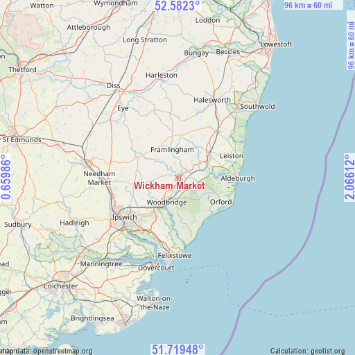
Wickham Market GPS coordinates[2]
52° 9' 10.728" North, 1° 21' 46.764" East
| Map corner | latitude | longitude |
|---|---|---|
| Upper-left | 52.5823°, | 0.65986° |
| Center: | 52.15298°, | 1.36299° |
| Lower-right: | 51.71948°, | 2.06612° |
| Map W x H: | 95.9×95.9 km | = 59.6×59.6mi |
| max Lat: | 60.39635° ⇑57.6% North |
| Wickham Market: | 52.15298° |
| min Lat: | ⇓42.4% South 34.60088° |
| min Long | Wickham Market | max Long |
| -7.64133° | 1.36299° | 32.95536° |
| W 98.7%⇐ | ⇒1.3% E |
Elevation
Elevation of Wickham Market is 34 m = 112 ft, and this is 38.9 m = 128 ft below average elevation for this country.
| Max E: |
515 m = 1690 ft | 69.2% |
| Avg. | 72.9 m = 239 ft | |
| Wickham Market | 34 m = 112 ft | |
Min E: |
-30 m = -98 ft | 30.8% |
See also: United Kingdom elevation on elevation.city.
Geographical zone
Wickham Market is located in North temperate zone (between Tropic of Cancer and the Arctic Circle). Distance of this North polar circle is 1602.3 km =995.6 mi to North.| Distance of | km | miles | from Wickham Market |
|---|---|---|---|
| North Pole | 4208.2 | 2614.9 | to North |
| Arctic Circle | 1602.3 | 995.6 | to North |
| Tropic Cancer | 3192.9 | 1984 | to South |
| Equator | 5798.9 | 3603.3 | to South |


Nearby cities:
15 places around Wickham Market: (largest is in red/bold)
• Bucklesham
15.1 km =9.4 mi,  205°
205°
• Debenham
14.7 km =9.1 mi,  302°
302°
• Framlingham
7.7 km =4.8 mi,  349°
349°
• Grundisburgh
9.2 km =5.7 mi,  240°
240°
• Henley
15 km =9.3 mi,  255°
255°
• Hollesley
12.4 km =7.7 mi,  158°
158°
• Kesgrave
13.3 km =8.3 mi,  220°
220°
• Leiston
15.8 km =9.8 mi,  68°
68°
• Orford
13.3 km =8.3 mi,  118°
118°
• Otley
9.8 km =6.1 mi,  268°
268°
• Peasenhall
14.5 km =9 mi,  24°
24°
• Rendlesham
4.6 km =2.9 mi,  129°
129°
• Saxmundham
11 km =6.8 mi,  51°
51°
• Woodbridge
7.2 km =4.5 mi,  203°
203°
• Worlingworth
14.9 km =9.3 mi,  330°
330°
Sources, notices
• [Note1] Compared only with cities in United Kingdom existing in our database
• [Src1] Map data: © OpenStreetMap contributors (CC-BY-SA)
• [Src2] Other city data from geonames.org with taken over terms of usage.
• [Src3] Geographical zone / Annual Mean Temperature by Robert A. Rohde @ Wikipedia
