Swadlincote geodata
Swadlincote (England) is a populated place; located in United Kingdom in Europe/London (GMT+1) time zone. With population of 40,960 people, there are 298 cities with bigger population in this country. Compared to other cities in United Kingdom, 56.9% of cities are located further ↓South; 54.1% of cities are located further ←West and 71.3% of cities have lower elevation than Swadlincote. Note1


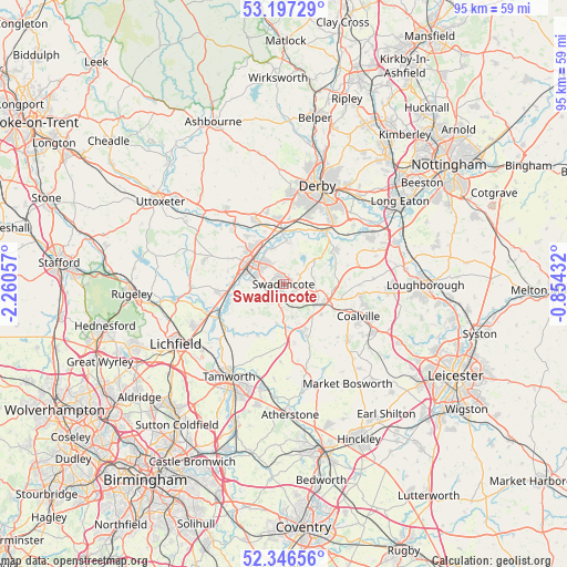
Swadlincote GPS coordinates[2]
52° 46' 26.4" North, 1° 33' 26.784" West
| Map corner | latitude | longitude |
|---|---|---|
| Upper-left | 53.19729°, | -2.26057° |
| Center: | 52.774°, | -1.55744° |
| Lower-right: | 52.34656°, | -0.85432° |
| Map W x H: | 94.6×94.6 km | = 58.8×58.8mi |
| max Lat: | 60.39635° ⇑43.1% North |
| Swadlincote: | 52.774° |
| min Lat: | ⇓56.9% South 34.60088° |
| min Long | Swadlincote | max Long |
| -7.64133° | -1.55744° | 32.95536° |
| W 54.1%⇐ | ⇒45.9% E |
Elevation
Elevation of Swadlincote is 98 m = 322 ft, and this is 25.1 m = 82 ft above average elevation for this country.
| Max E: |
515 m = 1690 ft | 28.7% |
| Swadlincote | 98 m 322 ft | |
| Avg. | 72.9 m = 239 ft | |
Min E: |
-30 m = -98 ft | 71.3% |
See also: Swadlincote elevation on elevation.city.
Geographical zone
Swadlincote is located in North temperate zone (between Tropic of Cancer and the Arctic Circle). Distance of this North polar circle is 1533.3 km =952.7 mi to North.| Distance of | km | miles | from Swadlincote |
|---|---|---|---|
| North Pole | 4139.1 | 2571.9 | to North |
| Arctic Circle | 1533.3 | 952.7 | to North |
| Tropic Cancer | 3262 | 2026.9 | to South |
| Equator | 5867.9 | 3646.1 | to South |


Nearby cities:
15 places around Swadlincote: (largest is in red/bold)
• Appleby Magna
10.3 km =6.4 mi,  171°
171°
• Ashby de la Zouch
6.4 km =4 mi,  118°
118°
• Burton upon Trent
6.8 km =4.2 mi,  302°
302°
• Clifton Campville
10 km =6.2 mi,  208°
208°
• Coton in the Elms
7 km =4.3 mi,  229°
229°
• Donisthorpe
5.7 km =3.5 mi, 166°
• Egginton
9.1 km =5.7 mi,  339°
339°
• Measham
8.3 km =5.2 mi,  155°
155°
• Moira
4.4 km =2.7 mi, 159°
• Netherseal
6.7 km =4.2 mi,  191°
191°
• Newton Solney
6.3 km =3.9 mi, 344°
• Packington
8 km =5 mi,  129°
129°
• Repton
7.3 km =4.5 mi,  3°
3°
• Ticknall
6.8 km =4.2 mi,  51°
51°
• Walton upon Trent
8.1 km =5 mi,  257°
257°
Sources, notices
• [Note1] Compared only with cities in United Kingdom existing in our database
• [Src1] Map data: © OpenStreetMap contributors (CC-BY-SA)
• [Src2] Other city data from geonames.org with taken over terms of usage.
• [Src3] Geographical zone / Annual Mean Temperature by Robert A. Rohde @ Wikipedia
