Stoke-on-Trent geodata
Stoke-on-Trent (England) is a seat of a second-order administrative division; located in United Kingdom in Europe/London (GMT+1) time zone. With population of 372,775 people, there are 12 cities with bigger population in this country. Compared to other cities in United Kingdom, 60.7% of cities are located further ↓South; 58.8% of cities are located further →East and 78.6% of cities have lower elevation than Stoke-on-Trent. Note1


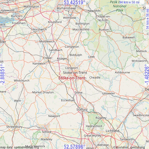
Stoke-on-Trent GPS coordinates[2]
53° 0' 14.94" North, 2° 11' 7.368" West
| Map corner | latitude | longitude |
|---|---|---|
| Upper-left | 53.42519°, | -2.88851° |
| Center: | 53.00415°, | -2.18538° |
| Lower-right: | 52.57896°, | -1.48226° |
| Map W x H: | 94.1×94.1 km | = 58.5×58.5mi |
| max Lat: | 60.39635° ⇑39.3% North |
| Stoke-on-Trent: | 53.00415° |
| min Lat: | ⇓60.7% South 34.60088° |
| min Long | Stoke-on-Trent | max Long |
| -7.64133° | -2.18538° | 32.95536° |
| W 41.2%⇐ | ⇒58.8% E |
Elevation
Elevation of Stoke-on-Trent is 114 m = 374 ft, and this is 41.1 m = 135 ft above average elevation for this country.
| Max E: |
515 m = 1690 ft | 21.4% |
| Stoke-on-Trent | 114 m 374 ft | |
| Avg. | 72.9 m = 239 ft | |
Min E: |
-30 m = -98 ft | 78.6% |
See also: Stoke-on-Trent elevation on elevation.city.
Geographical zone
Stoke-on-Trent is located in North temperate zone (between Tropic of Cancer and the Arctic Circle). Distance of this North polar circle is 1507.7 km =936.8 mi to North.| Distance of | km | miles | from Stoke-on-Trent |
|---|---|---|---|
| North Pole | 4113.6 | 2556.1 | to North |
| Arctic Circle | 1507.7 | 936.8 | to North |
| Tropic Cancer | 3287.6 | 2042.8 | to South |
| Equator | 5893.5 | 3662 | to South |


Nearby cities:
15 places around Stoke-on-Trent: (largest is in red/bold)
• Alsager
13 km =8.1 mi,  321°
321°
• Audley
9.2 km =5.7 mi,  303°
303°
• Barlaston
7 km =4.3 mi,  171°
171°
• Betley
12.7 km =7.9 mi,  285°
285°
• Biddulph
12.6 km =7.8 mi,  2°
2°
• Cheddleton
12 km =7.5 mi,  52°
52°
• Fulford
10.6 km =6.6 mi,  134°
134°
• Keele
6.8 km =4.2 mi,  269°
269°
• Kidsgrove
9.8 km =6.1 mi,  339°
339°
• Longton
4.2 km =2.6 mi,  123°
123°
• Madeley
9.9 km =6.2 mi, 267°
• Newcastle under Lyme
3.2 km =2 mi,  261°
261°
• Standon
11.7 km =7.3 mi,  213°
213°
• Stone
11.1 km =6.9 mi, 169°
• Tunstall
6.3 km =3.9 mi, 343°
Sources, notices
• [Note1] Compared only with cities in United Kingdom existing in our database
• [Src1] Map data: © OpenStreetMap contributors (CC-BY-SA)
• [Src2] Other city data from geonames.org with taken over terms of usage.
• [Src3] Geographical zone / Annual Mean Temperature by Robert A. Rohde @ Wikipedia
