Stevenage geodata
Stevenage (England) is a populated place; located in United Kingdom in Europe/London (GMT+1) time zone. With population of 90,232 people, there are 110 cities with bigger population in this country. Compared to other cities in United Kingdom, 64.8% of cities are located further ↑North; 82.9% of cities are located further ←West and 69.8% of cities have lower elevation than Stevenage. Note1


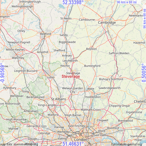
Stevenage GPS coordinates[2]
51° 54' 8.064" North, 0° 12' 9.216" West
| Map corner | latitude | longitude |
|---|---|---|
| Upper-left | 52.33398°, | -0.90569° |
| Center: | 51.90224°, | -0.20256° |
| Lower-right: | 51.46631°, | 0.50056° |
| Map W x H: | 96.5×96.5 km | = 60×60mi |
| max Lat: | 60.39635° ⇑64.8% North |
| Stevenage: | 51.90224° |
| min Lat: | ⇓35.2% South 34.60088° |
| min Long | Stevenage | max Long |
| -7.64133° | -0.20256° | 32.95536° |
| W 82.9%⇐ | ⇒17.1% E |
Elevation
Elevation of Stevenage is 95 m = 312 ft, and this is 22.1 m = 73 ft above average elevation for this country.
| Max E: |
515 m = 1690 ft | 30.2% |
| Stevenage | 95 m 312 ft | |
| Avg. | 72.9 m = 239 ft | |
Min E: |
-30 m = -98 ft | 69.8% |
See also: Stevenage elevation on elevation.city.
Geographical zone
Stevenage is located in North temperate zone (between Tropic of Cancer and the Arctic Circle). Distance of this North polar circle is 1630.2 km =1013 mi to North.| Distance of | km | miles | from Stevenage |
|---|---|---|---|
| North Pole | 4236.1 | 2632.2 | to North |
| Arctic Circle | 1630.2 | 1013 | to North |
| Tropic Cancer | 3165.1 | 1966.7 | to South |
| Equator | 5771 | 3585.9 | to South |


Nearby cities:
15 places around Stevenage: (largest is in red/bold)
• Baldock
9.6 km =6 mi,  5°
5°
• Benington
6.4 km =4 mi,  95°
95°
• Codicote
6.2 km =3.9 mi,  202°
202°
• Datchworth
6.4 km =4 mi,  152°
152°
• Great Offley
9.6 km =6 mi,  287°
287°
• Hitchin
7.7 km =4.8 mi,  312°
312°
• Kimpton
8.8 km =5.5 mi,  229°
229°
• Knebworth
4.1 km =2.5 mi,  162°
162°
• Letchworth
8.8 km =5.5 mi,  348°
348°
• Letchworth Garden City
8.7 km =5.4 mi, 349°
• Little Wymondley
4.1 km =2.5 mi,  326°
326°
• Tewin
10 km =6.2 mi, 161°
• Walkern
5.5 km =3.4 mi,  70°
70°
• Watton at Stone
7.8 km =4.8 mi,  128°
128°
• Welwyn
7.7 km =4.8 mi,  185°
185°
Sources, notices
• [Note1] Compared only with cities in United Kingdom existing in our database
• [Src1] Map data: © OpenStreetMap contributors (CC-BY-SA)
• [Src2] Other city data from geonames.org with taken over terms of usage.
• [Src3] Geographical zone / Annual Mean Temperature by Robert A. Rohde @ Wikipedia
