Southport geodata
Southport (England) is a seat of a second-order administrative division; located in United Kingdom in Europe/London (GMT+1) time zone. With population of 91,703 people, there are 108 cities with bigger population in this country. Compared to other cities in United Kingdom, 72.7% of cities are located further ↓South; 75.5% of cities are located further →East and 93.6% of cities have higher elevation than Southport. Note1


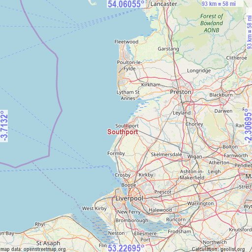
Southport GPS coordinates[2]
53° 38' 44.916" North, 3° 0' 36.288" West
| Map corner | latitude | longitude |
|---|---|---|
| Upper-left | 54.06055°, | -3.7132° |
| Center: | 53.64581°, | -3.01008° |
| Lower-right: | 53.22695°, | -2.30695° |
| Map W x H: | 92.7×92.7 km | = 57.6×57.6mi |
| max Lat: | 60.39635° ⇑27.3% North |
| Southport: | 53.64581° |
| min Lat: | ⇓72.7% South 34.60088° |
| min Long | Southport | max Long |
| -7.64133° | -3.01008° | 32.95536° |
| W 24.5%⇐ | ⇒75.5% E |
Elevation
Elevation of Southport is 9 m = 30 ft, and this is 63.9 m = 210 ft below average elevation for this country.
| Max E: |
515 m = 1690 ft | 93.6% |
| Avg. | 72.9 m = 239 ft | |
| Southport | 9 m = 30 ft | |
Min E: |
-30 m = -98 ft | 6.4% |
See also: Southport elevation on elevation.city.
Geographical zone
Southport is located in North temperate zone (between Tropic of Cancer and the Arctic Circle). Distance of this North polar circle is 1436.3 km =892.5 mi to North.| Distance of | km | miles | from Southport |
|---|---|---|---|
| North Pole | 4042.2 | 2511.7 | to North |
| Arctic Circle | 1436.3 | 892.5 | to North |
| Tropic Cancer | 3358.9 | 2087.1 | to South |
| Equator | 5964.9 | 3706.4 | to South |


Nearby cities:
15 places around Southport: (largest is in red/bold)
• Banks
7.4 km =4.6 mi,  55°
55°
• Bescar
6.5 km =4 mi,  124°
124°
• Burscough
12.5 km =7.8 mi, 116°
• Croston
15.6 km =9.7 mi,  83°
83°
• Formby
10.5 km =6.5 mi,  202°
202°
• Freckleton
15.4 km =9.6 mi,  38°
38°
• Hightown
13.9 km =8.6 mi,  194°
194°
• Ince Blundell
13.6 km =8.5 mi,  184°
184°
• Lytham St Annes
10.8 km =6.7 mi,  4°
4°
• Maghull
15.1 km =9.4 mi,  162°
162°
• Ormskirk
12.2 km =7.6 mi,  136°
136°
• Rufford
12.8 km =8 mi,  96°
96°
• Tarleton
12.5 km =7.8 mi,  72°
72°
• Warton
13.9 km =8.6 mi,  33°
33°
• Westhead
14.3 km =8.9 mi,  130°
130°
Sources, notices
• [Note1] Compared only with cities in United Kingdom existing in our database
• [Src1] Map data: © OpenStreetMap contributors (CC-BY-SA)
• [Src2] Other city data from geonames.org with taken over terms of usage.
• [Src3] Geographical zone / Annual Mean Temperature by Robert A. Rohde @ Wikipedia
