Scunthorpe geodata
Scunthorpe (England) is a seat of a second-order administrative division; located in United Kingdom in Europe/London (GMT+1) time zone. With population of 79,977 people, there are 126 cities with bigger population in this country. Compared to other cities in United Kingdom, 71.5% of cities are located further ↓South; 73.2% of cities are located further ←West and 60.2% of cities have higher elevation than Scunthorpe. Note1


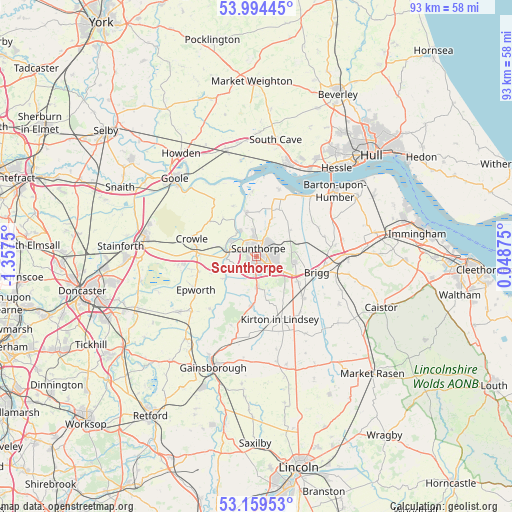
Scunthorpe GPS coordinates[2]
53° 34' 44.58" North, 0° 39' 15.732" West
| Map corner | latitude | longitude |
|---|---|---|
| Upper-left | 53.99445°, | -1.3575° |
| Center: | 53.57905°, | -0.65437° |
| Lower-right: | 53.15953°, | 0.04875° |
| Map W x H: | 92.8×92.8 km | = 57.7×57.7mi |
| max Lat: | 60.39635° ⇑28.5% North |
| Scunthorpe: | 53.57905° |
| min Lat: | ⇓71.5% South 34.60088° |
| min Long | Scunthorpe | max Long |
| -7.64133° | -0.65437° | 32.95536° |
| W 73.2%⇐ | ⇒26.8% E |
Elevation
Elevation of Scunthorpe is 46 m = 151 ft, and this is 26.9 m = 88 ft below average elevation for this country.
| Max E: |
515 m = 1690 ft | 60.2% |
| Avg. | 72.9 m = 239 ft | |
| Scunthorpe | 46 m = 151 ft | |
Min E: |
-30 m = -98 ft | 39.8% |
See also: Scunthorpe elevation on elevation.city.
Geographical zone
Scunthorpe is located in North temperate zone (between Tropic of Cancer and the Arctic Circle). Distance of this North polar circle is 1443.7 km =897.1 mi to North.| Distance of | km | miles | from Scunthorpe |
|---|---|---|---|
| North Pole | 4049.6 | 2516.3 | to North |
| Arctic Circle | 1443.7 | 897.1 | to North |
| Tropic Cancer | 3351.5 | 2082.5 | to South |
| Equator | 5957.4 | 3701.8 | to South |


Nearby cities:
15 places around Scunthorpe: (largest is in red/bold)
• Appleby
7.5 km =4.7 mi,  50°
50°
• Bottesford
3.2 km =2 mi,  174°
174°
• Brigg
11.1 km =6.9 mi,  105°
105°
• Broughton
7 km =4.3 mi,  101°
101°
• Burringham
5.7 km =3.5 mi,  264°
264°
• Burton upon Stather
8 km =5 mi,  345°
345°
• Eastoft
10.7 km =6.6 mi,  306°
306°
• Gunness
5.1 km =3.2 mi,  284°
284°
• Keadby
5.9 km =3.7 mi,  285°
285°
• Manton
8.3 km =5.2 mi,  151°
151°
• Messingham
5.6 km =3.5 mi,  179°
179°
• Scawby
8.8 km =5.5 mi,  121°
121°
• Scotter
9.3 km =5.8 mi,  188°
188°
• West Butterwick
7.1 km =4.4 mi,  234°
234°
• Winterton
9.2 km =5.7 mi,  23°
23°
Sources, notices
• [Note1] Compared only with cities in United Kingdom existing in our database
• [Src1] Map data: © OpenStreetMap contributors (CC-BY-SA)
• [Src2] Other city data from geonames.org with taken over terms of usage.
• [Src3] Geographical zone / Annual Mean Temperature by Robert A. Rohde @ Wikipedia
