Redruth geodata
Redruth (England) is a seat of a third-order administrative division; located in United Kingdom in Europe/London (GMT+1) time zone. With population of 42,690 people, there are 282 cities with bigger population in this country. Compared to other cities in United Kingdom, 99.3% of cities are located further ↑North; 97.2% of cities are located further →East and 85.9% of cities have lower elevation than Redruth. Note1


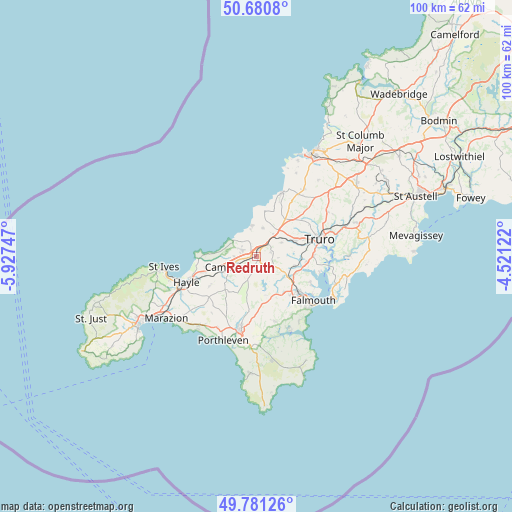
Redruth GPS coordinates[2]
50° 13' 59.34" North, 5° 13' 27.624" West
| Map corner | latitude | longitude |
|---|---|---|
| Upper-left | 50.6808°, | -5.92747° |
| Center: | 50.23315°, | -5.22434° |
| Lower-right: | 49.78126°, | -4.52122° |
| Map W x H: | 100×100 km | = 62.1×62.1mi |
| max Lat: | 60.39635° ⇑99.3% North |
| Redruth: | 50.23315° |
| min Lat: | ⇓0.7% South 34.60088° |
| min Long | Redruth | max Long |
| -7.64133° | -5.22434° | 32.95536° |
| W 2.8%⇐ | ⇒97.2% E |
Elevation
Elevation of Redruth is 135 m = 443 ft, and this is 62.1 m = 204 ft above average elevation for this country.
| Max E: |
515 m = 1690 ft | 14.1% |
| Redruth | 135 m 443 ft | |
| Avg. | 72.9 m = 239 ft | |
Min E: |
-30 m = -98 ft | 85.9% |
See also: Redruth elevation on elevation.city.
Geographical zone
Redruth is located in North temperate zone (between Tropic of Cancer and the Arctic Circle). Distance of this North polar circle is 1815.8 km =1128.3 mi to North.| Distance of | km | miles | from Redruth |
|---|---|---|---|
| North Pole | 4421.7 | 2747.5 | to North |
| Arctic Circle | 1815.8 | 1128.3 | to North |
| Tropic Cancer | 2979.5 | 1851.4 | to South |
| Equator | 5585.4 | 3470.6 | to South |


Nearby cities:
15 places around Redruth: (largest is in red/bold)
• Camborne
5.7 km =3.5 mi,  246°
246°
• Chacewater
5.4 km =3.4 mi,  61°
61°
• Four Lanes
3.7 km =2.3 mi,  197°
197°
• Mount Hawke
5.6 km =3.5 mi,  11°
11°
• Mylor Bridge
11.6 km =7.2 mi,  117°
117°
• North Country
2.1 km =1.3 mi,  334°
334°
• Penryn
11.2 km =7 mi,  130°
130°
• Perranarworthal
8 km =5 mi,  112°
112°
• Perranwell
7.7 km =4.8 mi, 106°
• Ponsanooth
6.9 km =4.3 mi, 123°
• Portreath
5.5 km =3.4 mi,  303°
303°
• Saint Agnes
9 km =5.6 mi, 9°
• St. Day
2.8 km =1.7 mi,  75°
75°
• Stithians
5.9 km =3.7 mi,  146°
146°
• Wendron
11.2 km =7 mi,  189°
189°
Sources, notices
• [Note1] Compared only with cities in United Kingdom existing in our database
• [Src1] Map data: © OpenStreetMap contributors (CC-BY-SA)
• [Src2] Other city data from geonames.org with taken over terms of usage.
• [Src3] Geographical zone / Annual Mean Temperature by Robert A. Rohde @ Wikipedia
