Paignton geodata
Paignton (England) is a populated place; located in United Kingdom in Europe/London (GMT+1) time zone. With population of 49,886 people, there are 235 cities with bigger population in this country. Compared to other cities in United Kingdom, 98.3% of cities are located further ↑North; 83.1% of cities are located further →East and 94.9% of cities have higher elevation than Paignton. Note1


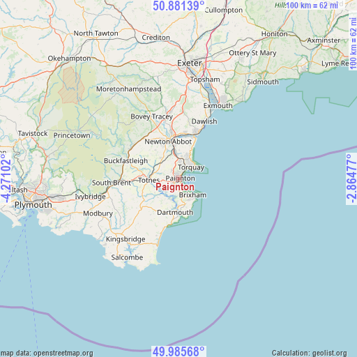
Paignton GPS coordinates[2]
50° 26' 8.34" North, 3° 34' 4.404" West
| Map corner | latitude | longitude |
|---|---|---|
| Upper-left | 50.88139°, | -4.27102° |
| Center: | 50.43565°, | -3.56789° |
| Lower-right: | 49.98568°, | -2.86477° |
| Map W x H: | 99.6×99.6 km | = 61.9×61.9mi |
| max Lat: | 60.39635° ⇑98.3% North |
| Paignton: | 50.43565° |
| min Lat: | ⇓1.7% South 34.60088° |
| min Long | Paignton | max Long |
| -7.64133° | -3.56789° | 32.95536° |
| W 16.9%⇐ | ⇒83.1% E |
Elevation
Elevation of Paignton is 8 m = 26 ft, and this is 64.9 m = 213 ft below average elevation for this country.
| Max E: |
515 m = 1690 ft | 94.9% |
| Avg. | 72.9 m = 239 ft | |
| Paignton | 8 m = 26 ft | |
Min E: |
-30 m = -98 ft | 5.1% |
See also: Paignton elevation on elevation.city.
Geographical zone
Paignton is located in North temperate zone (between Tropic of Cancer and the Arctic Circle). Distance of this North polar circle is 1793.3 km =1114.3 mi to North.| Distance of | km | miles | from Paignton |
|---|---|---|---|
| North Pole | 4399.1 | 2733.5 | to North |
| Arctic Circle | 1793.3 | 1114.3 | to North |
| Tropic Cancer | 3002 | 1865.4 | to South |
| Equator | 5607.9 | 3484.6 | to South |


Nearby cities:
15 places around Paignton: (largest is in red/bold)
• Abbotskerswell
8.7 km =5.4 mi,  338°
338°
• Brixham
5.9 km =3.7 mi,  141°
141°
• Broadhempston
10.1 km =6.3 mi,  301°
301°
• Cockington
3.2 km =2 mi,  14°
14°
• Dartington
10.1 km =6.3 mi,  275°
275°
• Dartmouth
9.3 km =5.8 mi,  185°
185°
• Denbury
10.4 km =6.5 mi,  320°
320°
• Ipplepen
7.8 km =4.8 mi, 319°
• Kingskerswell
7.1 km =4.4 mi,  351°
351°
• Marldon
3 km =1.9 mi, 316°
• Newton Abbot
10.8 km =6.7 mi, 343°
• Stoke Fleming
12.5 km =7.8 mi, 190°
• Stoke Gabriel
5.2 km =3.2 mi,  226°
226°
• Torquay
4.2 km =2.6 mi,  45°
45°
• Totnes
8.3 km =5.2 mi,  266°
266°
Sources, notices
• [Note1] Compared only with cities in United Kingdom existing in our database
• [Src1] Map data: © OpenStreetMap contributors (CC-BY-SA)
• [Src2] Other city data from geonames.org with taken over terms of usage.
• [Src3] Geographical zone / Annual Mean Temperature by Robert A. Rohde @ Wikipedia
