Gisburn geodata
Gisburn (England) is a populated place; located in United Kingdom in Europe/London (GMT+1) time zone. With population of 521 people, there are 4824 cities with bigger population in this country. Compared to other cities in United Kingdom, 77.9% of cities are located further ↓South; 60.6% of cities are located further →East and 87.3% of cities have lower elevation than Gisburn. Note1
Administrative division(s):
- Level 1: England
- Level 2: Lancashire
- Level 3: Ribble Valley District
- Level 4: Gisburn


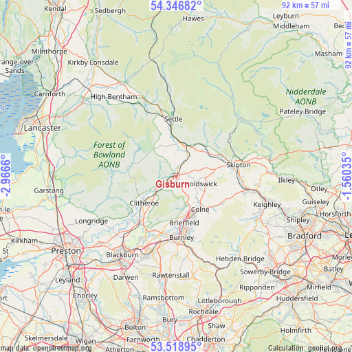
Gisburn GPS coordinates[2]
53° 56' 5.784" North, 2° 15' 48.492" West
| Map corner | latitude | longitude |
|---|---|---|
| Upper-left | 54.34682°, | -2.9666° |
| Center: | 53.93494°, | -2.26347° |
| Lower-right: | 53.51895°, | -1.56035° |
| Map W x H: | 92.1×92 km | = 57.2×57.2mi |
| max Lat: | 60.39635° ⇑22.1% North |
| Gisburn: | 53.93494° |
| min Lat: | ⇓77.9% South 34.60088° |
| min Long | Gisburn | max Long |
| -7.64133° | -2.26347° | 32.95536° |
| W 39.4%⇐ | ⇒60.6% E |
Elevation
Elevation of Gisburn is 140 m = 459 ft, and this is 67.1 m = 220 ft above average elevation for this country.
| Max E: |
515 m = 1690 ft | 12.7% |
| Gisburn | 140 m 459 ft | |
| Avg. | 72.9 m = 239 ft | |
Min E: |
-30 m = -98 ft | 87.3% |
See also: United Kingdom elevation on elevation.city.
Geographical zone
Gisburn is located in North temperate zone (between Tropic of Cancer and the Arctic Circle). Distance of this North polar circle is 1404.2 km =872.5 mi to North.| Distance of | km | miles | from Gisburn |
|---|---|---|---|
| North Pole | 4010.1 | 2491.8 | to North |
| Arctic Circle | 1404.2 | 872.5 | to North |
| Tropic Cancer | 3391.1 | 2107.1 | to South |
| Equator | 5997 | 3726.4 | to South |


Nearby cities:
15 places around Gisburn: (largest is in red/bold)
• Barnoldswick
5.4 km =3.4 mi,  111°
111°
• Barrowford
10.3 km =6.4 mi,  163°
163°
• Chatburn
7.6 km =4.7 mi,  231°
231°
• Clitheroe
11.7 km =7.3 mi, 229°
• Colne
10.7 km =6.6 mi,  144°
144°
• Earby
8.2 km =5.1 mi, 105°
• Foulridge
9 km =5.6 mi, 136°
• Gargrave
11.7 km =7.3 mi,  62°
62°
• Hellifield
8.2 km =5.1 mi,  18°
18°
• Kelbrook
8.4 km =5.2 mi,  118°
118°
• Long Preston
9.4 km =5.8 mi,  2°
2°
• Nelson
12 km =7.5 mi, 159°
• Otterburn
10.6 km =6.6 mi,  31°
31°
• Sabden
12.3 km =7.6 mi,  203°
203°
• Waddington
11.1 km =6.9 mi,  243°
243°
Sources, notices
• [Note1] Compared only with cities in United Kingdom existing in our database
• [Src1] Map data: © OpenStreetMap contributors (CC-BY-SA)
• [Src2] Other city data from geonames.org with taken over terms of usage.
• [Src3] Geographical zone / Annual Mean Temperature by Robert A. Rohde @ Wikipedia
