Carbrooke geodata
Carbrooke (England) is a populated place; located in United Kingdom in Europe/London (GMT+1) time zone. With population of 567 people, there are 4682 cities with bigger population in this country. Compared to other cities in United Kingdom, 52% of cities are located further ↓South; 95.5% of cities are located further ←West and 58.5% of cities have higher elevation than Carbrooke. Note1
Administrative division(s):
- Level 1: England
- Level 2: Norfolk
- Level 3: Breckland District
- Level 4: Carbrooke


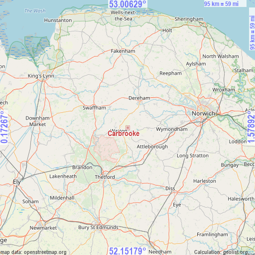
Carbrooke GPS coordinates[2]
52° 34' 52.032" North, 0° 52' 32.88" East
| Map corner | latitude | longitude |
|---|---|---|
| Upper-left | 53.00629°, | 0.17267° |
| Center: | 52.58112°, | 0.8758° |
| Lower-right: | 52.15179°, | 1.57892° |
| Map W x H: | 95×95 km | = 59×59mi |
| max Lat: | 60.39635° ⇑48% North |
| Carbrooke: | 52.58112° |
| min Lat: | ⇓52% South 34.60088° |
| min Long | Carbrooke | max Long |
| -7.64133° | 0.8758° | 32.95536° |
| W 95.5%⇐ | ⇒4.5% E |
Elevation
Elevation of Carbrooke is 49 m = 161 ft, and this is 23.9 m = 78 ft below average elevation for this country.
| Max E: |
515 m = 1690 ft | 58.5% |
| Avg. | 72.9 m = 239 ft | |
| Carbrooke | 49 m = 161 ft | |
Min E: |
-30 m = -98 ft | 41.5% |
See also: United Kingdom elevation on elevation.city.
Geographical zone
Carbrooke is located in North temperate zone (between Tropic of Cancer and the Arctic Circle). Distance of this North polar circle is 1554.7 km =966 mi to North.| Distance of | km | miles | from Carbrooke |
|---|---|---|---|
| North Pole | 4160.6 | 2585.3 | to North |
| Arctic Circle | 1554.7 | 966 | to North |
| Tropic Cancer | 3240.6 | 2013.6 | to South |
| Equator | 5846.5 | 3632.8 | to South |


Nearby cities:
15 places around Carbrooke: (largest is in red/bold)
• Ashill
6.6 km =4.1 mi,  293°
293°
• Attleborough
11.8 km =7.3 mi,  126°
126°
• Beeston
13.8 km =8.6 mi,  343°
343°
• East Dereham
12 km =7.5 mi,  18°
18°
• Great Ellingham
8.3 km =5.2 mi, 126°
• Griston
2.8 km =1.7 mi,  196°
196°
• Hingham
7.3 km =4.5 mi,  91°
91°
• Mattishall
13.7 km =8.5 mi,  50°
50°
• Necton
10.2 km =6.3 mi,  318°
318°
• Shipdham
5.4 km =3.4 mi,  7°
7°
• Shropham
9.6 km =6 mi,  160°
160°
• Snetterton
12.3 km =7.6 mi, 162°
• Sporle
13.5 km =8.4 mi,  314°
314°
• Swaffham
14.8 km =9.2 mi,  299°
299°
• Watton
3.3 km =2.1 mi,  240°
240°
Sources, notices
• [Note1] Compared only with cities in United Kingdom existing in our database
• [Src1] Map data: © OpenStreetMap contributors (CC-BY-SA)
• [Src2] Other city data from geonames.org with taken over terms of usage.
• [Src3] Geographical zone / Annual Mean Temperature by Robert A. Rohde @ Wikipedia
