Buckley geodata
Buckley (Wales) is a seat of a third-order administrative division; located in United Kingdom in Europe/London (GMT+1) time zone. With population of 63,576 people, there are 170 cities with bigger population in this country. Compared to other cities in United Kingdom, 63.3% of cities are located further ↓South; 76.8% of cities are located further →East and 91.4% of cities have lower elevation than Buckley. Note1


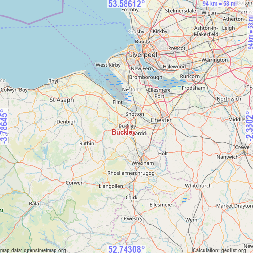
Buckley GPS coordinates[2]
53° 10' 0.012" North, 3° 4' 59.988" West
| Map corner | latitude | longitude |
|---|---|---|
| Upper-left | 53.58612°, | -3.78645° |
| Center: | 53.16667°, | -3.08333° |
| Lower-right: | 52.74308°, | -2.3802° |
| Map W x H: | 93.7×93.7 km | = 58.2×58.2mi |
| max Lat: | 60.39635° ⇑36.7% North |
| Buckley: | 53.16667° |
| min Lat: | ⇓63.3% South 34.60088° |
| min Long | Buckley | max Long |
| -7.64133° | -3.08333° | 32.95536° |
| W 23.2%⇐ | ⇒76.8% E |
Elevation
Elevation of Buckley is 157 m = 515 ft, and this is 84.1 m = 276 ft above average elevation for this country.
| Max E: |
515 m = 1690 ft | 8.6% |
| Buckley | 157 m 515 ft | |
| Avg. | 72.9 m = 239 ft | |
Min E: |
-30 m = -98 ft | 91.4% |
See also: Buckley elevation on elevation.city.
Geographical zone
Buckley is located in North temperate zone (between Tropic of Cancer and the Arctic Circle). Distance of this North polar circle is 1489.6 km =925.6 mi to North.| Distance of | km | miles | from Buckley |
|---|---|---|---|
| North Pole | 4095.5 | 2544.8 | to North |
| Arctic Circle | 1489.6 | 925.6 | to North |
| Tropic Cancer | 3305.7 | 2054.1 | to South |
| Equator | 5911.6 | 3673.3 | to South |


Nearby cities:
15 places around Buckley: (largest is in red/bold)
• Broughton
6 km =3.7 mi,  93°
93°
• Caergwrle
7 km =4.3 mi,  154°
154°
• Deeside
4.8 km =3 mi,  38°
38°
• Dodleston
8.9 km =5.5 mi,  106°
106°
• Flint
9.3 km =5.8 mi,  339°
339°
• Halkyn
9.7 km =6 mi,  312°
312°
• Hawarden
4.3 km =2.7 mi,  62°
62°
• Hope
6.5 km =4 mi, 149°
• Leeswood
3.8 km =2.4 mi,  191°
191°
• Mold
3.9 km =2.4 mi,  270°
270°
• Northop
5.6 km =3.5 mi,  323°
323°
• Penyffordd
3.2 km =2 mi,  129°
129°
• Queensferry
5 km =3.1 mi, 41°
• Rhydymwyn
7.6 km =4.7 mi,  292°
292°
• Treuddyn
6.3 km =3.9 mi,  202°
202°
Sources, notices
• [Note1] Compared only with cities in United Kingdom existing in our database
• [Src1] Map data: © OpenStreetMap contributors (CC-BY-SA)
• [Src2] Other city data from geonames.org with taken over terms of usage.
• [Src3] Geographical zone / Annual Mean Temperature by Robert A. Rohde @ Wikipedia
