Thorntonhall geodata
Thorntonhall (Scotland) is a populated place; located in United Kingdom in Europe/London (GMT+1) time zone. With population of 610 people, there are 4543 cities with bigger population in this country. Compared to other cities in United Kingdom, 90.6% of cities are located further ↓South; 91% of cities are located further →East and 85.9% of cities have lower elevation than Thorntonhall. Note1


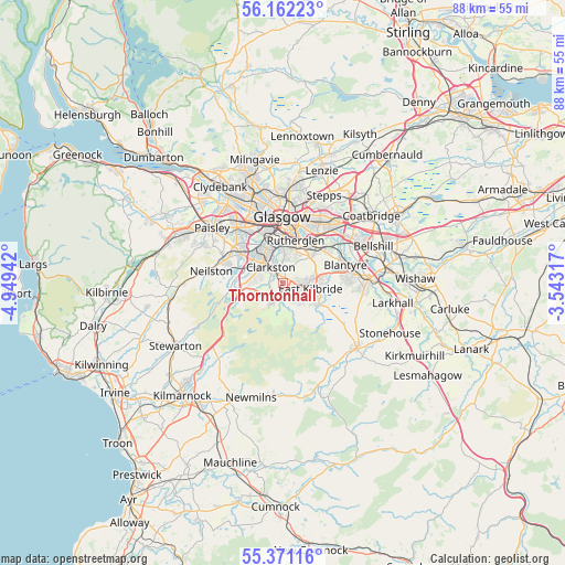
Thorntonhall GPS coordinates[2]
55° 46' 7.32" North, 4° 14' 46.68" West
| Map corner | latitude | longitude |
|---|---|---|
| Upper-left | 56.16223°, | -4.94942° |
| Center: | 55.7687°, | -4.2463° |
| Lower-right: | 55.37116°, | -3.54317° |
| Map W x H: | 88×88 km | = 54.7×54.7mi |
| max Lat: | 60.39635° ⇑9.4% North |
| Thorntonhall: | 55.7687° |
| min Lat: | ⇓90.6% South 34.60088° |
| min Long | Thorntonhall | max Long |
| -7.64133° | -4.2463° | 32.95536° |
| W 9%⇐ | ⇒91% E |
Elevation
Elevation of Thorntonhall is 135 m = 443 ft, and this is 62.1 m = 204 ft above average elevation for this country.
| Max E: |
515 m = 1690 ft | 14.1% |
| Thorntonhall | 135 m 443 ft | |
| Avg. | 72.9 m = 239 ft | |
Min E: |
-30 m = -98 ft | 85.9% |
See also: United Kingdom elevation on elevation.city.
Geographical zone
Thorntonhall is located in North temperate zone (between Tropic of Cancer and the Arctic Circle). Distance of this North polar circle is 1200.3 km =745.8 mi to North.| Distance of | km | miles | from Thorntonhall |
|---|---|---|---|
| North Pole | 3806.2 | 2365.1 | to North |
| Arctic Circle | 1200.3 | 745.8 | to North |
| Tropic Cancer | 3595 | 2233.8 | to South |
| Equator | 6200.9 | 3853.1 | to South |


Nearby cities:
15 places around Thorntonhall: (largest is in red/bold)
• Barrhead
9.8 km =6.1 mi,  290°
290°
• Blantyre
10 km =6.2 mi,  72°
72°
• Busby
2.3 km =1.4 mi,  302°
302°
• Cambuslang
7 km =4.3 mi,  49°
49°
• Carmunnock
2.5 km =1.6 mi,  15°
15°
• Clarkston
2.7 km =1.7 mi,  315°
315°
• Eaglesham
3.5 km =2.2 mi,  210°
210°
• East Kilbride
4.4 km =2.7 mi,  96°
96°
• Giffnock
4.9 km =3 mi, 322°
• High Blantyre
9.3 km =5.8 mi,  79°
79°
• Netherlee
4 km =2.5 mi,  335°
335°
• Newton Mearns
5.5 km =3.4 mi,  275°
275°
• Rutherglen
7 km =4.3 mi, 16°
• Thornliebank
6 km =3.7 mi,  311°
311°
• Waterfoot
2.3 km =1.4 mi,  271°
271°
Sources, notices
• [Note1] Compared only with cities in United Kingdom existing in our database
• [Src1] Map data: © OpenStreetMap contributors (CC-BY-SA)
• [Src2] Other city data from geonames.org with taken over terms of usage.
• [Src3] Geographical zone / Annual Mean Temperature by Robert A. Rohde @ Wikipedia
