Rízia geodata
Rízia (East Macedonia and Thrace) is a populated place; located in Greece in Europe/Athens (GMT+3) time zone. With population of 1,645 people, there are 611 cities with bigger population in this country. Compared to other cities in Greece, 99.8% of cities are located further ↓South; 96% of cities are located further ←West and 58.3% of cities have higher elevation than Rízia. Note1
Administrative division(s):
- Level 1: East Macedonia and Thrace
- Level 2: Nomós Évrou
- Level 3: Dimos Orestiada


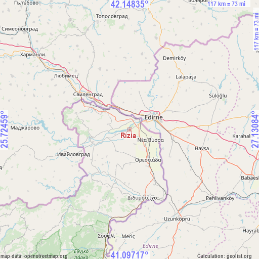
Rízia GPS coordinates[2]
41° 37' 29.64" North, 26° 25' 39.756" East
| Map corner | latitude | longitude |
|---|---|---|
| Upper-left | 42.14835°, | 25.72459° |
| Center: | 41.6249°, | 26.42771° |
| Lower-right: | 41.09717°, | 27.13084° |
| Map W x H: | 116.9×116.9 km | = 72.6×72.6mi |
| max Lat: | 41.72048° ⇑0.2% North |
| Rízia: | 41.6249° |
| min Lat: | ⇓99.8% South 34.8346° |
| min Long | Rízia | max Long |
| 19.40494° | 26.42771° | 29.59361° |
| W 96%⇐ | ⇒4% E |
Elevation
Elevation of Rízia is 55 m = 180 ft, and this is 113.9 m = 374 ft below average elevation for this country.
| Max E: |
1439 m = 4721 ft | 58.3% |
| Avg. | 168.9 m = 554 ft | |
| Rízia | 55 m = 180 ft | |
Min E: |
0 m = 0 ft | 41.7% |
See also: Greece elevation on elevation.city.
Geographical zone
Rízia is located in North temperate zone (between Tropic of Cancer and the Arctic Circle). Distance of this Northern Tropic circle is 2022.3 km =1256.6 mi to South.| Distance of | km | miles | from Rízia |
|---|---|---|---|
| North Pole | 5378.8 | 3342.2 | to North |
| Arctic Circle | 2772.9 | 1723 | to North |
| Tropic Cancer | 2022.3 | 1256.6 | to South |
| Equator | 4628.3 | 2875.9 | to South |


Nearby cities:
15 places around Rízia: (largest is in red/bold)
• Díkaia
14.2 km =8.8 mi,  309°
309°
• Karotí
24.3 km =15.1 mi,  180°
180°
• Kastaniés
4.7 km =2.9 mi,  60°
60°
• Kavýli
10 km =6.2 mi,  133°
133°
• Koufóvouno
30 km =18.6 mi, 178°
• Kyprínos
17.4 km =10.8 mi,  251°
251°
• Kómara
16.8 km =10.4 mi,  258°
258°
• Lagós
19.5 km =12.1 mi,  171°
171°
• Metaxádes
28.4 km =17.6 mi,  216°
216°
• Neochóri
12.9 km =8 mi, 168°
• Néa Výssa
10.6 km =6.6 mi,  115°
115°
• Néos Pýrgos
15.8 km =9.8 mi,  156°
156°
• Orestiáda
16 km =9.9 mi,  147°
147°
• Orménio
20.6 km =12.8 mi,  301°
301°
• Stérna
7.1 km =4.4 mi, 159°
Sources, notices
• [Note1] Compared only with cities in Greece existing in our database
• [Src1] Map data: © OpenStreetMap contributors (CC-BY-SA)
• [Src2] Other city data from geonames.org with taken over terms of usage.
• [Src3] Geographical zone / Annual Mean Temperature by Robert A. Rohde @ Wikipedia
