Grytviken geodata
Grytviken is a capital of a political entity; located in South Georgia and the South Sandwich Islands in Atlantic/South_Georgia (GMT-2) time zone. With population of 2 people, there are 0 cities with bigger population in this country. Note1


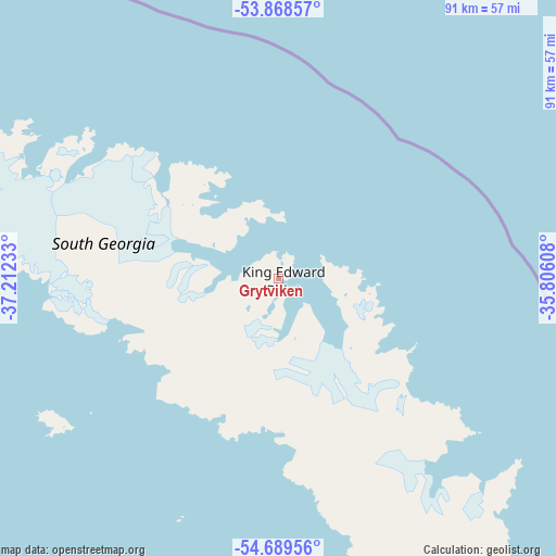
Grytviken GPS coordinates[2]
54° 16' 51.996" South, 36° 30' 33.12" West
| Map corner | latitude | longitude |
|---|---|---|
| Upper-left | -53.86857°, | -37.21233° |
| Center: | -54.28111°, | -36.5092° |
| Lower-right: | -54.68956°, | -35.80608° |
| Map W x H: | 91.3×91.3 km | = 56.7×56.7mi |
Elevation
Elevation of Grytviken is 4 m = 13 ft, and this is 0 m = 0 ft above average elevation for this country.
See also: South Georgia and the South Sandwich Islands elevation on elevation.city.
Geographical zone
Grytviken is located in South temperate zone (between Tropic of Capricorn and the Antarctic Circle). Distance of this South polar circle is 1365.7 km =848.6 mi to South.| Distance of | km | miles | from Grytviken |
|---|---|---|---|
| Equator | 6035.5 | 3750.3 | to North |
| Tropic Capricorn | 3429.6 | 2131.1 | to North |
| Antarctic Circle | 1365.7 | 848.6 | to South |
| South Pole | 3971.6 | 2467.8 | to South |


Nearby cities:
0 places around Grytviken: (largest is in red/bold)
There is no such city in our database.
Sources, notices
• [Note1] Compared only with cities in South Georgia and the South Sandwich Islands existing in our database
• [Src1] Map data: © OpenStreetMap contributors (CC-BY-SA)
• [Src2] Other city data from geonames.org with taken over terms of usage.
• [Src3] Geographical zone / Annual Mean Temperature by Robert A. Rohde @ Wikipedia
