Lazina Čička geodata
Lazina Čička (Zagrebačka) is a populated place; located in Croatia in Europe/Zagreb (GMT+2) time zone. With population of 566 people, there are 792 cities with bigger population in this country. Compared to other cities in Croatia, 66.9% of cities are located further ↓South; 64.2% of cities are located further →East and 67.7% of cities have higher elevation than Lazina Čička. Note1


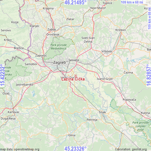
Lazina Čička GPS coordinates[2]
45° 43' 34.536" North, 16° 7' 31.584" East
| Map corner | latitude | longitude |
|---|---|---|
| Upper-left | 46.21495°, | 15.42232° |
| Center: | 45.72626°, | 16.12544° |
| Lower-right: | 45.23326°, | 16.82857° |
| Map W x H: | 109.2×109.2 km | = 67.9×67.9mi |
| max Lat: | 46.52694° ⇑33.1% North |
| Lazina Čička: | 45.72626° |
| min Lat: | ⇓66.9% South 42.54972° |
| min Long | Lazina Čička | max Long |
| 13.52389° | 16.12544° | 19.37694° |
| W 35.8%⇐ | ⇒64.2% E |
Elevation
Elevation of Lazina Čička is 99 m = 325 ft, and this is 54.3 m = 178 ft below average elevation for this country.
| Max E: |
827 m = 2713 ft | 67.7% |
| Avg. | 153.3 m = 503 ft | |
| Lazina Čička | 99 m = 325 ft | |
Min E: |
-1 m = -3 ft | 32.3% |
See also: Croatia elevation on elevation.city.
Geographical zone
Lazina Čička is located in North temperate zone (between Tropic of Cancer and the Arctic Circle). Distance of this North polar circle is 2316.9 km =1439.7 mi to North.| Distance of | km | miles | from Lazina Čička |
|---|---|---|---|
| North Pole | 4922.8 | 3058.9 | to North |
| Arctic Circle | 2316.9 | 1439.7 | to North |
| Tropic Cancer | 2478.4 | 1540 | to South |
| Equator | 5084.3 | 3159.2 | to South |


Nearby cities:
15 places around Lazina Čička: (largest is in red/bold)
• Gradići
6.5 km =4 mi,  243°
243°
• Jagodno
3.5 km =2.2 mi,  146°
146°
• Kobilić
2.1 km =1.3 mi,  291°
291°
• Kuče
5.7 km =3.5 mi,  164°
164°
• Mičevec
5.3 km =3.3 mi,  300°
300°
• Novo Čiče
3 km =1.9 mi,  193°
193°
• Obrezina
4.9 km =3 mi,  336°
336°
• Poljana Čička
6.4 km =4 mi,  138°
138°
• Ribnica
1.2 km =0.7 mi, 150°
• Selnica Šćitarjevska
3.3 km =2.1 mi,  323°
323°
• Staro Čiče
3 km =1.9 mi, 193°
• Struga Nartska
6.7 km =4.2 mi,  52°
52°
• Velika Gorica
4.2 km =2.6 mi,  248°
248°
• Velika Kosnica
5.2 km =3.2 mi, 318°
• Vukovina
4.8 km =3 mi, 188°
Sources, notices
• [Note1] Compared only with cities in Croatia existing in our database
• [Src1] Map data: © OpenStreetMap contributors (CC-BY-SA)
• [Src2] Other city data from geonames.org with taken over terms of usage.
• [Src3] Geographical zone / Annual Mean Temperature by Robert A. Rohde @ Wikipedia
