Semambung geodata
Semambung (East Java) is a seat of a fourth-order administrative division; located in Indonesia in Asia/Jakarta (GMT+7) time zone. In our database, there are 407 cities with bigger population. Compared to other cities in Indonesia, 60.3% of cities are located further ↓South; 54.4% of cities are located further ←West and 95.5% of cities have higher elevation than Semambung. Note1


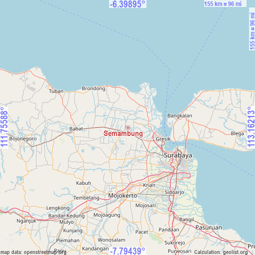
Semambung GPS coordinates[2]
7° 5' 49.92" South, 112° 27' 32.4" East
| Map corner | latitude | longitude |
|---|---|---|
| Upper-left | -6.39895°, | 111.75588° |
| Center: | -7.0972°, | 112.459° |
| Lower-right: | -7.79439°, | 113.16213° |
| Map W x H: | 155.2×155.2 km | = 96.4×96.4mi |
| max Lat: | 5.88969° ⇑39.7% North |
| Semambung: | -7.0972° |
| min Lat: | ⇓60.3% South -10.934° |
| min Long | Semambung | max Long |
| 95.1345° | 112.459° | 140.9419° |
| W 54.4%⇐ | ⇒45.6% E |
Elevation
Elevation of Semambung is 7 m = 23 ft, and this is 222.7 m = 731 ft below average elevation for this country.
| Max E: |
3185 m = 10449 ft | 95.5% |
| Avg. | 229.7 m = 754 ft | |
| Semambung | 7 m = 23 ft | |
Min E: |
-1 m = -3 ft | 4.5% |
See also: Indonesia elevation on elevation.city.
Geographical zone
Semambung is located in South Torrid zone (between Equator and Tropic of Capricorn). Distance of Equator is 789.1 km =490.3 mi to North.| Distance of | km | miles | from Semambung |
|---|---|---|---|
| Equator | 789.1 | 490.3 | to North |
| Tropic Capricorn | 1816.8 | 1128.9 | to South |
| Antarctic Circle | 6612 | 4108.5 | to South |
| South Pole | 9217.9 | 5727.7 | to South |


Nearby cities:
15 places around Semambung: (largest is in red/bold)
• Began
2.5 km =1.6 mi,  87°
87°
• Bucu Kidul
3.2 km =2 mi,  43°
43°
• Bucu Lor
3.6 km =2.2 mi, 40°
• Dagangan
0.7 km =0.4 mi,  13°
13°
• Deket Kulon
3.2 km =2 mi,  222°
222°
• Deket Wetan
2.9 km =1.8 mi, 215°
• Duni
3.2 km =2 mi,  17°
17°
• Gajah
1.8 km =1.1 mi,  199°
199°
• Kebon Tengah
0.9 km =0.6 mi,  65°
65°
• Keputran
1.5 km =0.9 mi,  296°
296°
• Keset
3.6 km =2.2 mi,  254°
254°
• Nginjen
2.9 km =1.8 mi,  144°
144°
• Rawaglagah
2.7 km =1.7 mi,  325°
325°
• Sampangan
2.8 km =1.7 mi,  359°
359°
• Sugihwaras
1.7 km =1.1 mi, 250°
Sources, notices
• [Note1] Compared only with cities in Indonesia existing in our database
• [Src1] Map data: © OpenStreetMap contributors (CC-BY-SA)
• [Src2] Other city data from geonames.org with taken over terms of usage.
• [Src3] Geographical zone / Annual Mean Temperature by Robert A. Rohde @ Wikipedia
