Hujungtiwu geodata
Hujungtiwu (West Java) is a seat of a fourth-order administrative division; located in Indonesia in Asia/Jakarta (GMT+7) time zone. In our database, there are 407 cities with bigger population. Compared to other cities in Indonesia, 60.4% of cities are located further ↓South; 75% of cities are located further →East and 95.1% of cities have lower elevation than Hujungtiwu. Note1


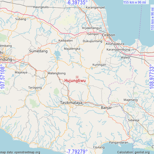
Hujungtiwu GPS coordinates[2]
7° 5' 44.16" South, 108° 16' 27.12" East
| Map corner | latitude | longitude |
|---|---|---|
| Upper-left | -6.39735°, | 107.57108° |
| Center: | -7.0956°, | 108.2742° |
| Lower-right: | -7.79279°, | 108.97733° |
| Map W x H: | 155.2×155.2 km | = 96.4×96.4mi |
| max Lat: | 5.88969° ⇑39.6% North |
| Hujungtiwu: | -7.0956° |
| min Lat: | ⇓60.4% South -10.934° |
| min Long | Hujungtiwu | max Long |
| 95.1345° | 108.2742° | 140.9419° |
| W 25%⇐ | ⇒75% E |
Elevation
Elevation of Hujungtiwu is 823 m = 2700 ft, and this is 593.3 m = 1947 ft above average elevation for this country.
| Max E: |
3185 m = 10449 ft | 4.9% |
| Hujungtiwu | 823 m 2700 ft | |
| Avg. | 229.7 m = 754 ft | |
Min E: |
-1 m = -3 ft | 95.1% |
See also: Indonesia elevation on elevation.city.
Geographical zone
Hujungtiwu is located in South Torrid zone (between Equator and Tropic of Capricorn). Distance of Equator is 789 km =490.3 mi to North.| Distance of | km | miles | from Hujungtiwu |
|---|---|---|---|
| Equator | 789 | 490.3 | to North |
| Tropic Capricorn | 1817 | 1129 | to South |
| Antarctic Circle | 6612.2 | 4108.6 | to South |
| South Pole | 9218.1 | 5727.9 | to South |


Nearby cities:
15 places around Hujungtiwu: (largest is in red/bold)
• Banjarangsana
5.6 km =3.5 mi,  220°
220°
• Cilimus
5.8 km =3.6 mi,  343°
343°
• Cimuncang
4.6 km =2.9 mi,  8°
8°
• Cimuncang
6.1 km =3.8 mi, 223°
• Jaga
5.6 km =3.5 mi,  354°
354°
• Jongorsari
0.8 km =0.5 mi,  134°
134°
• Karangsari
2.4 km =1.5 mi,  71°
71°
• Mandala
5.7 km =3.5 mi,  189°
189°
• Maparah
3.3 km =2.1 mi,  137°
137°
• Pabuaran
4.2 km =2.6 mi,  184°
184°
• Pamekaran
3.6 km =2.2 mi,  246°
246°
• Panjalu
4.1 km =2.5 mi, 192°
• Payungsari
4.7 km =2.9 mi,  233°
233°
• Sindangsari
5.1 km =3.2 mi,  87°
87°
• Sukamantri Satu
1.2 km =0.7 mi,  42°
42°
Sources, notices
• [Note1] Compared only with cities in Indonesia existing in our database
• [Src1] Map data: © OpenStreetMap contributors (CC-BY-SA)
• [Src2] Other city data from geonames.org with taken over terms of usage.
• [Src3] Geographical zone / Annual Mean Temperature by Robert A. Rohde @ Wikipedia
