Gunungaci geodata
Gunungaci (West Java) is a seat of a fourth-order administrative division; located in Indonesia in Asia/Jakarta (GMT+7) time zone. In our database, there are 407 cities with bigger population. Compared to other cities in Indonesia, 60% of cities are located further ↓South; 71% of cities are located further →East and 87.7% of cities have lower elevation than Gunungaci. Note1


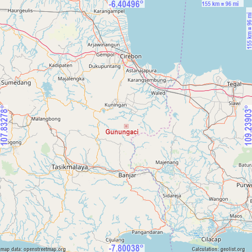
Gunungaci GPS coordinates[2]
7° 6' 11.52" South, 108° 32' 9.24" East
| Map corner | latitude | longitude |
|---|---|---|
| Upper-left | -6.40496°, | 107.83278° |
| Center: | -7.1032°, | 108.5359° |
| Lower-right: | -7.80038°, | 109.23903° |
| Map W x H: | 155.2×155.2 km | = 96.4×96.4mi |
| max Lat: | 5.88969° ⇑40% North |
| Gunungaci: | -7.1032° |
| min Lat: | ⇓60% South -10.934° |
| min Long | Gunungaci | max Long |
| 95.1345° | 108.5359° | 140.9419° |
| W 29%⇐ | ⇒71% E |
Elevation
Elevation of Gunungaci is 576 m = 1890 ft, and this is 346.3 m = 1136 ft above average elevation for this country.
| Max E: |
3185 m = 10449 ft | 12.3% |
| Gunungaci | 576 m 1890 ft | |
| Avg. | 229.7 m = 754 ft | |
Min E: |
-1 m = -3 ft | 87.7% |
See also: Indonesia elevation on elevation.city.
Geographical zone
Gunungaci is located in South Torrid zone (between Equator and Tropic of Capricorn). Distance of Equator is 789.8 km =490.8 mi to North.| Distance of | km | miles | from Gunungaci |
|---|---|---|---|
| Equator | 789.8 | 490.8 | to North |
| Tropic Capricorn | 1816.1 | 1128.5 | to South |
| Antarctic Circle | 6611.4 | 4108.1 | to South |
| South Pole | 9217.3 | 5727.4 | to South |


Nearby cities:
15 places around Gunungaci: (largest is in red/bold)
• Blokdesa Situgede
2.3 km =1.4 mi,  95°
95°
• Cikembang
3.5 km =2.2 mi,  220°
220°
• Cipakem
5.6 km =3.5 mi,  56°
56°
• Cipedes
5 km =3.1 mi,  351°
351°
• Curug
5.3 km =3.3 mi,  226°
226°
• Giriwaringin
5.3 km =3.3 mi,  70°
70°
• Gunungmanik
3.9 km =2.4 mi,  298°
298°
• Janglapa
5.6 km =3.5 mi, 216°
• Kutamangu
3.9 km =2.4 mi,  240°
240°
• Manis Subang
2.8 km =1.7 mi,  190°
190°
• Pahing Jalatrang
4.6 km =2.9 mi,  132°
132°
• Pahing Pamulihan
5 km =3.1 mi,  166°
166°
• Patala
5.1 km =3.2 mi, 98°
• Pinara
3 km =1.9 mi,  307°
307°
• Subang
2.9 km =1.8 mi,  197°
197°
Sources, notices
• [Note1] Compared only with cities in Indonesia existing in our database
• [Src1] Map data: © OpenStreetMap contributors (CC-BY-SA)
• [Src2] Other city data from geonames.org with taken over terms of usage.
• [Src3] Geographical zone / Annual Mean Temperature by Robert A. Rohde @ Wikipedia
