Gandoang geodata
Gandoang (Central Java) is a seat of a fourth-order administrative division; located in Indonesia in Asia/Jakarta (GMT+7) time zone. In our database, there are 407 cities with bigger population. Compared to other cities in Indonesia, 56.6% of cities are located further ↓South; 67.3% of cities are located further →East and 68.6% of cities have lower elevation than Gandoang. Note1


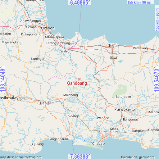
Gandoang GPS coordinates[2]
7° 10' 0.48" South, 108° 50' 36.96" East
| Map corner | latitude | longitude |
|---|---|---|
| Upper-left | -6.46865°, | 108.14048° |
| Center: | -7.1668°, | 108.8436° |
| Lower-right: | -7.86388°, | 109.54673° |
| Map W x H: | 155.1×155.1 km | = 96.4×96.4mi |
| max Lat: | 5.88969° ⇑43.4% North |
| Gandoang: | -7.1668° |
| min Lat: | ⇓56.6% South -10.934° |
| min Long | Gandoang | max Long |
| 95.1345° | 108.8436° | 140.9419° |
| W 32.7%⇐ | ⇒67.3% E |
Elevation
Elevation of Gandoang is 273 m = 896 ft, and this is 43.3 m = 142 ft above average elevation for this country.
| Max E: |
3185 m = 10449 ft | 31.4% |
| Gandoang | 273 m 896 ft | |
| Avg. | 229.7 m = 754 ft | |
Min E: |
-1 m = -3 ft | 68.6% |
See also: Indonesia elevation on elevation.city.
Geographical zone
Gandoang is located in South Torrid zone (between Equator and Tropic of Capricorn). Distance of Equator is 796.9 km =495.2 mi to North.| Distance of | km | miles | from Gandoang |
|---|---|---|---|
| Equator | 796.9 | 495.2 | to North |
| Tropic Capricorn | 1809 | 1124.1 | to South |
| Antarctic Circle | 6604.3 | 4103.7 | to South |
| South Pole | 9210.2 | 5723 | to South |


Nearby cities:
15 places around Gandoang: (largest is in red/bold)
• Banjaran
5.7 km =3.5 mi,  242°
242°
• Bentar
4.2 km =2.6 mi,  295°
295°
• Bentarsari
3.4 km =2.1 mi, 295°
• Ciputih
2.5 km =1.6 mi, 297°
• Cisitu
5.6 km =3.5 mi, 299°
• Citimbang
2.9 km =1.8 mi,  150°
150°
• Cogreg
5.1 km =3.2 mi, 295°
• Ganggawang
2.9 km =1.8 mi,  276°
276°
• Gununglarang
3.6 km =2.2 mi,  202°
202°
• Kadumanis
2.8 km =1.7 mi,  111°
111°
• Kandayakan Satu
7.5 km =4.7 mi, 296°
• Legok
5.8 km =3.6 mi,  194°
194°
• Legoknyenang
1.7 km =1.1 mi, 242°
• Salem
4.5 km =2.8 mi,  247°
247°
• Salem Kidul
4.8 km =3 mi, 244°
Sources, notices
• [Note1] Compared only with cities in Indonesia existing in our database
• [Src1] Map data: © OpenStreetMap contributors (CC-BY-SA)
• [Src2] Other city data from geonames.org with taken over terms of usage.
• [Src3] Geographical zone / Annual Mean Temperature by Robert A. Rohde @ Wikipedia
