Labuhan geodata
Labuhan (East Java) is a seat of a fourth-order administrative division; located in Indonesia in Asia/Jakarta (GMT+7) time zone. In our database, there are 407 cities with bigger population. Compared to other cities in Indonesia, 73.7% of cities are located further ↓South; 51.5% of cities are located further ←West and 97.2% of cities have higher elevation than Labuhan. Note1


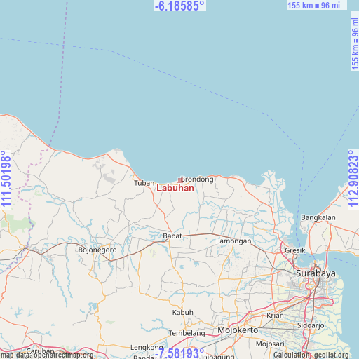
Labuhan GPS coordinates[2]
6° 53' 3.84" South, 112° 12' 18.36" East
| Map corner | latitude | longitude |
|---|---|---|
| Upper-left | -6.18585°, | 111.50198° |
| Center: | -6.8844°, | 112.2051° |
| Lower-right: | -7.58193°, | 112.90823° |
| Map W x H: | 155.2×155.2 km | = 96.4×96.4mi |
| max Lat: | 5.88969° ⇑26.3% North |
| Labuhan: | -6.8844° |
| min Lat: | ⇓73.7% South -10.934° |
| min Long | Labuhan | max Long |
| 95.1345° | 112.2051° | 140.9419° |
| W 51.5%⇐ | ⇒48.5% E |
Elevation
Elevation of Labuhan is 6 m = 20 ft, and this is 223.7 m = 734 ft below average elevation for this country.
| Max E: |
3185 m = 10449 ft | 97.2% |
| Avg. | 229.7 m = 754 ft | |
| Labuhan | 6 m = 20 ft | |
Min E: |
-1 m = -3 ft | 2.8% |
See also: Indonesia elevation on elevation.city.
Geographical zone
Labuhan is located in South Torrid zone (between Equator and Tropic of Capricorn). Distance of Equator is 765.5 km =475.7 mi to North.| Distance of | km | miles | from Labuhan |
|---|---|---|---|
| Equator | 765.5 | 475.7 | to North |
| Tropic Capricorn | 1840.4 | 1143.6 | to South |
| Antarctic Circle | 6635.7 | 4123.2 | to South |
| South Pole | 9241.6 | 5742.5 | to South |


Nearby cities:
15 places around Labuhan: (largest is in red/bold)
• Banjaranyar
6 km =3.7 mi,  251°
251°
• Bogorejo
6.8 km =4.2 mi, 247°
• Boho
2.6 km =1.6 mi,  169°
169°
• Brengkok
1.9 km =1.2 mi,  131°
131°
• Karang Lor
5.5 km =3.4 mi,  223°
223°
• Karangagung Timur
4.5 km =2.8 mi, 247°
• Lembor
5.8 km =3.6 mi,  145°
145°
• Leran Kulon
7.4 km =4.6 mi,  234°
234°
• Leran Wetan
7.1 km =4.4 mi, 232°
• Pliwetan
4.3 km =2.7 mi,  239°
239°
• Sendangharjo
5.6 km =3.5 mi, 134°
• Setro
4.8 km =3 mi,  203°
203°
• Sidomukti
2.8 km =1.7 mi, 199°
• Tambakrejo
3.7 km =2.3 mi, 241°
• Wangun
6.6 km =4.1 mi, 220°
Sources, notices
• [Note1] Compared only with cities in Indonesia existing in our database
• [Src1] Map data: © OpenStreetMap contributors (CC-BY-SA)
• [Src2] Other city data from geonames.org with taken over terms of usage.
• [Src3] Geographical zone / Annual Mean Temperature by Robert A. Rohde @ Wikipedia
