Godog geodata
Godog (East Java) is a seat of a fourth-order administrative division; located in Indonesia in Asia/Jakarta (GMT+7) time zone. In our database, there are 407 cities with bigger population. Compared to other cities in Indonesia, 68.8% of cities are located further ↓South; 52.7% of cities are located further ←West and 86.4% of cities have higher elevation than Godog. Note1


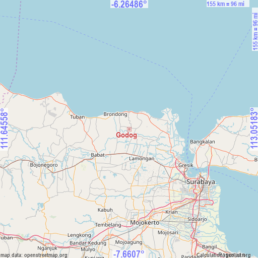
Godog GPS coordinates[2]
6° 57' 47.88" South, 112° 20' 55.32" East
| Map corner | latitude | longitude |
|---|---|---|
| Upper-left | -6.26486°, | 111.64558° |
| Center: | -6.9633°, | 112.3487° |
| Lower-right: | -7.6607°, | 113.05183° |
| Map W x H: | 155.2×155.2 km | = 96.4×96.4mi |
| max Lat: | 5.88969° ⇑31.2% North |
| Godog: | -6.9633° |
| min Lat: | ⇓68.8% South -10.934° |
| min Long | Godog | max Long |
| 95.1345° | 112.3487° | 140.9419° |
| W 52.7%⇐ | ⇒47.3% E |
Elevation
Elevation of Godog is 13 m = 43 ft, and this is 216.7 m = 711 ft below average elevation for this country.
| Max E: |
3185 m = 10449 ft | 86.4% |
| Avg. | 229.7 m = 754 ft | |
| Godog | 13 m = 43 ft | |
Min E: |
-1 m = -3 ft | 13.6% |
See also: Indonesia elevation on elevation.city.
Geographical zone
Godog is located in South Torrid zone (between Equator and Tropic of Capricorn). Distance of Equator is 774.2 km =481.1 mi to North.| Distance of | km | miles | from Godog |
|---|---|---|---|
| Equator | 774.2 | 481.1 | to North |
| Tropic Capricorn | 1831.7 | 1138.2 | to South |
| Antarctic Circle | 6626.9 | 4117.8 | to South |
| South Pole | 9232.8 | 5737 | to South |


Nearby cities:
15 places around Godog: (largest is in red/bold)
• Brangsi
2.2 km =1.4 mi,  117°
117°
• Bulubrangsi
0.6 km =0.4 mi,  88°
88°
• Jagran
4 km =2.5 mi,  171°
171°
• Karangcangkring
4 km =2.5 mi,  127°
127°
• Karanggeneng
4 km =2.5 mi,  136°
136°
• Karangtawar
1.1 km =0.7 mi,  263°
263°
• Karangwungu Lor
4.1 km =2.5 mi,  153°
153°
• Klagen
4 km =2.5 mi,  176°
176°
• Pilang
2.8 km =1.7 mi,  195°
195°
• Prijek
2.8 km =1.7 mi,  248°
248°
• Sawo
2.9 km =1.8 mi,  103°
103°
• Solokuro
3.4 km =2.1 mi,  13°
13°
• Taman
4.1 km =2.5 mi, 246°
• Tenggulun
3.5 km =2.2 mi,  336°
336°
• Tracal
2.4 km =1.5 mi,  208°
208°
Sources, notices
• [Note1] Compared only with cities in Indonesia existing in our database
• [Src1] Map data: © OpenStreetMap contributors (CC-BY-SA)
• [Src2] Other city data from geonames.org with taken over terms of usage.
• [Src3] Geographical zone / Annual Mean Temperature by Robert A. Rohde @ Wikipedia
