Palalang geodata
Palalang (East Java) is a seat of a fourth-order administrative division; located in Indonesia in Asia/Jakarta (GMT+7) time zone. In our database, there are 407 cities with bigger population. Compared to other cities in Indonesia, 63.8% of cities are located further ↓South; 63.2% of cities are located further ←West and 65.4% of cities have lower elevation than Palalang. Note1


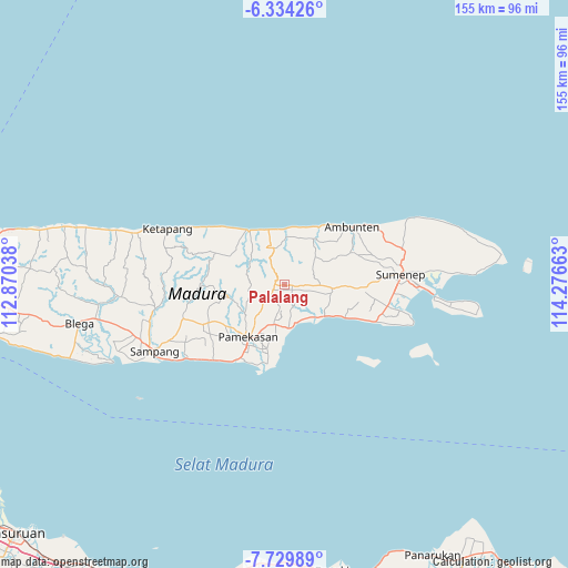
Palalang GPS coordinates[2]
7° 1' 57.36" South, 113° 34' 24.6" East
| Map corner | latitude | longitude |
|---|---|---|
| Upper-left | -6.33426°, | 112.87038° |
| Center: | -7.0326°, | 113.5735° |
| Lower-right: | -7.72989°, | 114.27663° |
| Map W x H: | 155.2×155.2 km | = 96.4×96.4mi |
| max Lat: | 5.88969° ⇑36.2% North |
| Palalang: | -7.0326° |
| min Lat: | ⇓63.8% South -10.934° |
| min Long | Palalang | max Long |
| 95.1345° | 113.5735° | 140.9419° |
| W 63.2%⇐ | ⇒36.8% E |
Elevation
Elevation of Palalang is 228 m = 748 ft, and this is 1.7 m = 6 ft below average elevation for this country.
| Max E: |
3185 m = 10449 ft | 34.6% |
| Avg. | 229.7 m = 754 ft | |
| Palalang | 228 m = 748 ft | |
Min E: |
-1 m = -3 ft | 65.4% |
See also: Indonesia elevation on elevation.city.
Geographical zone
Palalang is located in South Torrid zone (between Equator and Tropic of Capricorn). Distance of Equator is 782 km =485.9 mi to North.| Distance of | km | miles | from Palalang |
|---|---|---|---|
| Equator | 782 | 485.9 | to North |
| Tropic Capricorn | 1824 | 1133.4 | to South |
| Antarctic Circle | 6619.2 | 4113 | to South |
| South Pole | 9225.1 | 5732.2 | to South |


Nearby cities:
15 places around Palalang: (largest is in red/bold)
• Batas Barat
3.9 km =2.4 mi,  239°
239°
• Ba’rigi
3.3 km =2.1 mi,  104°
104°
• Duko
3 km =1.9 mi,  262°
262°
• Gungguh
1.5 km =0.9 mi, 259°
• Gunung
2.2 km =1.4 mi,  25°
25°
• Kendal
2 km =1.2 mi,  128°
128°
• Pakong
2.6 km =1.6 mi,  273°
273°
• Pakong Laok
2.1 km =1.3 mi, 241°
• Parengan Laok
2 km =1.2 mi,  91°
91°
• Sannip
2 km =1.2 mi,  144°
144°
• Sumber Tengah
4.4 km =2.7 mi, 258°
• Sumberaya Barat
2.4 km =1.5 mi,  119°
119°
• Sumberbatas
2.5 km =1.6 mi,  221°
221°
• Tenggina
2.6 km =1.6 mi,  200°
200°
• Tenggina
3.9 km =2.4 mi,  345°
345°
Sources, notices
• [Note1] Compared only with cities in Indonesia existing in our database
• [Src1] Map data: © OpenStreetMap contributors (CC-BY-SA)
• [Src2] Other city data from geonames.org with taken over terms of usage.
• [Src3] Geographical zone / Annual Mean Temperature by Robert A. Rohde @ Wikipedia
