Postoh geodata
Postoh (East Nusa Tenggara) is a seat of a fourth-order administrative division; located in Indonesia in Asia/Makassar (GMT+8) time zone. In our database, there are 407 cities with bigger population. Compared to other cities in Indonesia, 78.3% of cities are located further ↑North; 90.2% of cities are located further ←West and 70.2% of cities have higher elevation than Postoh. Note1


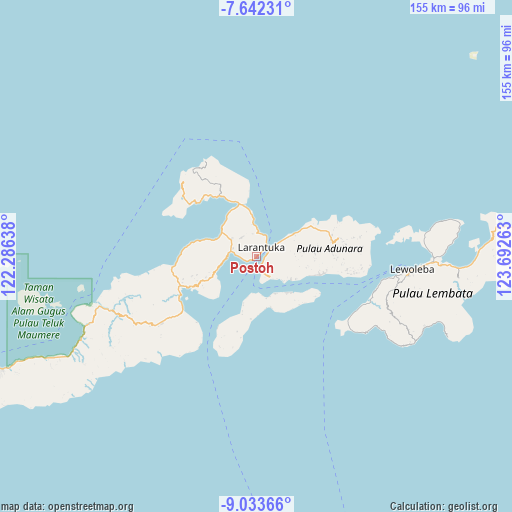
Postoh GPS coordinates[2]
8° 20' 18.96" South, 122° 59' 22.2" East
| Map corner | latitude | longitude |
|---|---|---|
| Upper-left | -7.64231°, | 122.28638° |
| Center: | -8.3386°, | 122.9895° |
| Lower-right: | -9.03366°, | 123.69263° |
| Map W x H: | 154.7×154.7 km | = 96.1×96.1mi |
| max Lat: | 5.88969° ⇑78.3% North |
| Postoh: | -8.3386° |
| min Lat: | ⇓21.7% South -10.934° |
| min Long | Postoh | max Long |
| 95.1345° | 122.9895° | 140.9419° |
| W 90.2%⇐ | ⇒9.8% E |
Elevation
Elevation of Postoh is 32 m = 105 ft, and this is 197.7 m = 649 ft below average elevation for this country.
| Max E: |
3185 m = 10449 ft | 70.2% |
| Avg. | 229.7 m = 754 ft | |
| Postoh | 32 m = 105 ft | |
Min E: |
-1 m = -3 ft | 29.8% |
See also: Indonesia elevation on elevation.city.
Geographical zone
Postoh is located in South Torrid zone (between Equator and Tropic of Capricorn). Distance of Equator is 927.2 km =576.1 mi to North.| Distance of | km | miles | from Postoh |
|---|---|---|---|
| Equator | 927.2 | 576.1 | to North |
| Tropic Capricorn | 1678.8 | 1043.2 | to South |
| Antarctic Circle | 6474 | 4022.8 | to South |
| South Pole | 9079.9 | 5642 | to South |


Nearby cities:
15 places around Postoh: (largest is in red/bold)
• Amagarapati
0.5 km =0.3 mi,  39°
39°
• Balela
1.3 km =0.8 mi,  233°
233°
• Ekasapta
1.3 km =0.8 mi,  50°
50°
• Lahayong
0.7 km =0.4 mi,  235°
235°
• Larantuka
1.6 km =1 mi, 236°
• Larantuka
1.9 km =1.2 mi, 48°
• Lebao
2.5 km =1.6 mi, 47°
• Lewolere
3.4 km =2.1 mi,  252°
252°
• Lokea
0.4 km =0.2 mi, 231°
• Pantaibesar
2.6 km =1.6 mi, 242°
• Pohonsirih
1 km =0.6 mi, 233°
• Tabali
3.6 km =2.2 mi, 49°
• Waibalun
4 km =2.5 mi,  259°
259°
• Wailebe
3.6 km =2.2 mi,  160°
160°
• Woto
6 km =3.7 mi,  154°
154°
Sources, notices
• [Note1] Compared only with cities in Indonesia existing in our database
• [Src1] Map data: © OpenStreetMap contributors (CC-BY-SA)
• [Src2] Other city data from geonames.org with taken over terms of usage.
• [Src3] Geographical zone / Annual Mean Temperature by Robert A. Rohde @ Wikipedia
