Gunungsari geodata
Gunungsari (Banten) is a seat of a fourth-order administrative division; located in Indonesia in Asia/Jakarta (GMT+7) time zone. In our database, there are 407 cities with bigger population. Compared to other cities in Indonesia, 87.7% of cities are located further ↓South; 90.1% of cities are located further →East and 63.9% of cities have lower elevation than Gunungsari. Note1


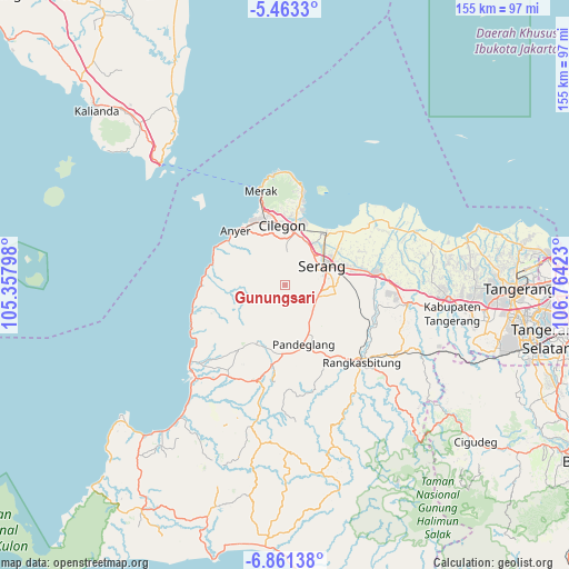
Gunungsari GPS coordinates[2]
6° 9' 46.08" South, 106° 3' 39.96" East
| Map corner | latitude | longitude |
|---|---|---|
| Upper-left | -5.4633°, | 105.35798° |
| Center: | -6.1628°, | 106.0611° |
| Lower-right: | -6.86138°, | 106.76423° |
| Map W x H: | 155.5×155.5 km | = 96.6×96.6mi |
| max Lat: | 5.88969° ⇑12.3% North |
| Gunungsari: | -6.1628° |
| min Lat: | ⇓87.7% South -10.934° |
| min Long | Gunungsari | max Long |
| 95.1345° | 106.0611° | 140.9419° |
| W 9.9%⇐ | ⇒90.1% E |
Elevation
Elevation of Gunungsari is 207 m = 679 ft, and this is 22.7 m = 74 ft below average elevation for this country.
| Max E: |
3185 m = 10449 ft | 36.1% |
| Avg. | 229.7 m = 754 ft | |
| Gunungsari | 207 m = 679 ft | |
Min E: |
-1 m = -3 ft | 63.9% |
See also: Indonesia elevation on elevation.city.
Geographical zone
Gunungsari is located in South Torrid zone (between Equator and Tropic of Capricorn). Distance of Equator is 685.2 km =425.8 mi to North.| Distance of | km | miles | from Gunungsari |
|---|---|---|---|
| Equator | 685.2 | 425.8 | to North |
| Tropic Capricorn | 1920.7 | 1193.5 | to South |
| Antarctic Circle | 6715.9 | 4173.1 | to South |
| South Pole | 9321.8 | 5792.3 | to South |


Nearby cities:
15 places around Gunungsari: (largest is in red/bold)
• Bojong
3.2 km =2 mi,  87°
87°
• Bojongseler
3.8 km =2.4 mi,  306°
306°
• Cibetung Dua
5.8 km =3.6 mi,  224°
224°
• Ciherang
2.2 km =1.4 mi,  183°
183°
• Cikaung
5.2 km =3.2 mi,  152°
152°
• Ciomas
6.3 km =3.9 mi,  197°
197°
• Karangdawa Barat
6.5 km =4 mi,  57°
57°
• Merapit
0.9 km =0.6 mi,  9°
9°
• Pabuaran
4.7 km =2.9 mi,  166°
166°
• Padukan
5 km =3.1 mi,  72°
72°
• Pancanagara
4.4 km =2.7 mi,  137°
137°
• Pekijing
6.4 km =4 mi,  46°
46°
• Sampiran
5.2 km =3.2 mi,  164°
164°
• Sirnagalih
6.2 km =3.9 mi, 198°
• Uluarang
2.5 km =1.6 mi, 314°
Sources, notices
• [Note1] Compared only with cities in Indonesia existing in our database
• [Src1] Map data: © OpenStreetMap contributors (CC-BY-SA)
• [Src2] Other city data from geonames.org with taken over terms of usage.
• [Src3] Geographical zone / Annual Mean Temperature by Robert A. Rohde @ Wikipedia
