Cepu geodata
Cepu (Central Java) is a seat of a third-order administrative division; located in Indonesia in Asia/Jakarta (GMT+7) time zone. With population of 55,055 people, there are 219 cities with bigger population in this country. Compared to other cities in Indonesia, 57.8% of cities are located further ↓South; 56.3% of cities are located further →East and 68% of cities have higher elevation than Cepu. Note1


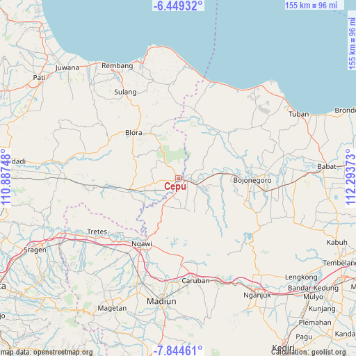
Cepu GPS coordinates[2]
7° 8' 51" South, 111° 35' 26.16" East
| Map corner | latitude | longitude |
|---|---|---|
| Upper-left | -6.44932°, | 110.88748° |
| Center: | -7.1475°, | 111.5906° |
| Lower-right: | -7.84461°, | 112.29373° |
| Map W x H: | 155.1×155.1 km | = 96.4×96.4mi |
| max Lat: | 5.88969° ⇑42.2% North |
| Cepu: | -7.1475° |
| min Lat: | ⇓57.8% South -10.934° |
| min Long | Cepu | max Long |
| 95.1345° | 111.5906° | 140.9419° |
| W 43.7%⇐ | ⇒56.3% E |
Elevation
Elevation of Cepu is 36 m = 118 ft, and this is 193.7 m = 635 ft below average elevation for this country.
| Max E: |
3185 m = 10449 ft | 68% |
| Avg. | 229.7 m = 754 ft | |
| Cepu | 36 m = 118 ft | |
Min E: |
-1 m = -3 ft | 32% |
See also: Cepu elevation on elevation.city.
Geographical zone
Cepu is located in South Torrid zone (between Equator and Tropic of Capricorn). Distance of Equator is 794.7 km =493.8 mi to North.| Distance of | km | miles | from Cepu |
|---|---|---|---|
| Equator | 794.7 | 493.8 | to North |
| Tropic Capricorn | 1811.2 | 1125.4 | to South |
| Antarctic Circle | 6606.4 | 4105 | to South |
| South Pole | 9212.3 | 5724.3 | to South |


Nearby cities:
15 places around Cepu: (largest is in red/bold)
• Batokan
2.5 km =1.6 mi,  79°
79°
• Caper
2.8 km =1.7 mi,  60°
60°
• Demakan
1.6 km =1 mi,  90°
90°
• Karangboyo
2.3 km =1.4 mi,  27°
27°
• Kentongan
3.9 km =2.4 mi,  238°
238°
• Kuncen
3.6 km =2.2 mi,  107°
107°
• Mersodo
3.5 km =2.2 mi,  183°
183°
• Mulyorejo
3.1 km =1.9 mi,  246°
246°
• Ngelo
2.1 km =1.3 mi,  50°
50°
• Nglanjuk
2.2 km =1.4 mi,  196°
196°
• Ngroto
2.9 km =1.8 mi, 33°
• Nguken
1.6 km =1 mi,  160°
160°
• Padangan
2.7 km =1.7 mi,  104°
104°
• Pengkok
3 km =1.9 mi,  135°
135°
• Tambakkromo
2.5 km =1.6 mi, 244°
Sources, notices
• [Note1] Compared only with cities in Indonesia existing in our database
• [Src1] Map data: © OpenStreetMap contributors (CC-BY-SA)
• [Src2] Other city data from geonames.org with taken over terms of usage.
• [Src3] Geographical zone / Annual Mean Temperature by Robert A. Rohde @ Wikipedia
