Pigra geodata
Pigra (Lombardy) is a seat of a third-order administrative division; located in Italy in Europe/Rome (GMT+2) time zone. With population of 266 people, there are 10820 cities with bigger population in this country. Compared to other cities in Italy, 90.8% of cities are located further ↓South; 79.2% of cities are located further →East and 95.7% of cities have lower elevation than Pigra. Note1


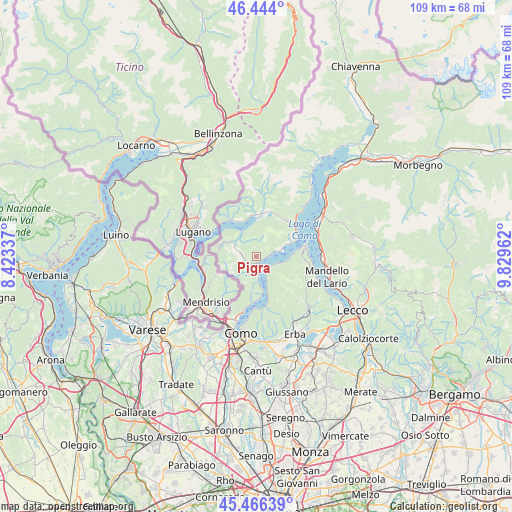
Pigra GPS coordinates[2]
45° 57' 26.46" North, 9° 7' 35.364" East
| Map corner | latitude | longitude |
|---|---|---|
| Upper-left | 46.444°, | 8.42337° |
| Center: | 45.95735°, | 9.12649° |
| Lower-right: | 45.46639°, | 9.82962° |
| Map W x H: | 108.7×108.7 km | = 67.5×67.5mi |
| max Lat: | 47.04031° ⇑9.2% North |
| Pigra: | 45.95735° |
| min Lat: | ⇓90.8% South 35.50142° |
| min Long | Pigra | max Long |
| 6.69888° | 9.12649° | 18.48682° |
| W 20.8%⇐ | ⇒79.2% E |
Elevation
Elevation of Pigra is 913 m = 2995 ft, and this is 606.3 m = 1989 ft above average elevation for this country.
| Max E: |
2085 m = 6841 ft | 4.3% |
| Pigra | 913 m 2995 ft | |
| Avg. | 306.7 m = 1006 ft | |
Min E: |
-4 m = -13 ft | 95.7% |
See also: Italy elevation on elevation.city.
Geographical zone
Pigra is located in North temperate zone (between Tropic of Cancer and the Arctic Circle). Distance of this North polar circle is 2291.2 km =1423.7 mi to North.| Distance of | km | miles | from Pigra |
|---|---|---|---|
| North Pole | 4897.1 | 3042.9 | to North |
| Arctic Circle | 2291.2 | 1423.7 | to North |
| Tropic Cancer | 2504.1 | 1556 | to South |
| Equator | 5110 | 3175.2 | to South |


Nearby cities:
15 places around Pigra: (largest is in red/bold)
• Argegno
1.7 km =1.1 mi,  180°
180°
• Blessagno
2.2 km =1.4 mi,  274°
274°
• Casasco Intelvi
4.2 km =2.6 mi,  248°
248°
• Castiglione d'Intelvi
2.8 km =1.7 mi, 270°
• Cerano d'Intelvi
3.3 km =2.1 mi,  244°
244°
• Colonno
2 km =1.2 mi,  88°
88°
• Dizzasco-Biazzeno
2.6 km =1.6 mi,  233°
233°
• Lezzeno
4.7 km =2.9 mi,  108°
108°
• Occagno
3.8 km =2.4 mi,  214°
214°
• Ossuccio
4.3 km =2.7 mi,  71°
71°
• Ponna Superiore
4.4 km =2.7 mi,  325°
325°
• Sala Comacina
3.1 km =1.9 mi,  76°
76°
• San Fedele Intelvi
3.7 km =2.3 mi,  287°
287°
• San Fedele Superiore
4.7 km =2.9 mi,  282°
282°
• Schignano
3.6 km =2.2 mi, 211°
Sources, notices
• [Note1] Compared only with cities in Italy existing in our database
• [Src1] Map data: © OpenStreetMap contributors (CC-BY-SA)
• [Src2] Other city data from geonames.org with taken over terms of usage.
• [Src3] Geographical zone / Annual Mean Temperature by Robert A. Rohde @ Wikipedia
