Capodimonte geodata
Capodimonte (Latium) is a seat of a third-order administrative division; located in Italy in Europe/Rome (GMT+2) time zone. With population of 1,399 people, there are 5361 cities with bigger population in this country. Compared to other cities in Italy, 66% of cities are located further ↑North; 54.6% of cities are located further ←West and 61.5% of cities have lower elevation than Capodimonte. Note1


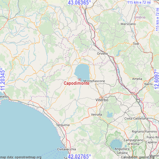
Capodimonte GPS coordinates[2]
42° 32' 52.08" North, 11° 54' 23.652" East
| Map corner | latitude | longitude |
|---|---|---|
| Upper-left | 43.06365°, | 11.20345° |
| Center: | 42.5478°, | 11.90657° |
| Lower-right: | 42.02765°, | 12.6097° |
| Map W x H: | 115.2×115.2 km | = 71.6×71.6mi |
| max Lat: | 47.04031° ⇑66% North |
| Capodimonte: | 42.5478° |
| min Lat: | ⇓34% South 35.50142° |
| min Long | Capodimonte | max Long |
| 6.69888° | 11.90657° | 18.48682° |
| W 54.6%⇐ | ⇒45.4% E |
Elevation
Elevation of Capodimonte is 311 m = 1020 ft, and this is 4.3 m = 14 ft above average elevation for this country.
| Max E: |
2085 m = 6841 ft | 38.5% |
| Capodimonte | 311 m 1020 ft | |
| Avg. | 306.7 m = 1006 ft | |
Min E: |
-4 m = -13 ft | 61.5% |
See also: Italy elevation on elevation.city.
Geographical zone
Capodimonte is located in North temperate zone (between Tropic of Cancer and the Arctic Circle). Distance of this Northern Tropic circle is 2125 km =1320.4 mi to South.| Distance of | km | miles | from Capodimonte |
|---|---|---|---|
| North Pole | 5276.2 | 3278.5 | to North |
| Arctic Circle | 2670.3 | 1659.2 | to North |
| Tropic Cancer | 2125 | 1320.4 | to South |
| Equator | 4730.9 | 2939.6 | to South |


Nearby cities:
15 places around Capodimonte: (largest is in red/bold)
• Arlena di Castro
11.5 km =7.1 mi,  217°
217°
• Bolsena
12.4 km =7.7 mi,  31°
31°
• Cellere
11.9 km =7.4 mi,  249°
249°
• Farnese
14.8 km =9.2 mi,  270°
270°
• Gradoli
11.6 km =7.2 mi,  338°
338°
• Grotte di Castro
14.5 km =9 mi,  347°
347°
• Ischia di Castro
12.2 km =7.6 mi, 268°
• Latera
11 km =6.8 mi,  325°
325°
• Marta
2.2 km =1.4 mi,  138°
138°
• Montefiascone
10.3 km =6.4 mi,  93°
93°
• Piansano
6.8 km =4.2 mi, 247°
• Tessennano
12.2 km =7.6 mi,  230°
230°
• Tuscania
14.7 km =9.1 mi,  192°
192°
• Valentano
6.7 km =4.2 mi,  285°
285°
• Zepponami
12.3 km =7.6 mi,  101°
101°
Sources, notices
• [Note1] Compared only with cities in Italy existing in our database
• [Src1] Map data: © OpenStreetMap contributors (CC-BY-SA)
• [Src2] Other city data from geonames.org with taken over terms of usage.
• [Src3] Geographical zone / Annual Mean Temperature by Robert A. Rohde @ Wikipedia
