Losine geodata
Losine (Lombardy) is a seat of a third-order administrative division; located in Italy in Europe/Rome (GMT+2) time zone. With population of 559 people, there are 9357 cities with bigger population in this country. Compared to other cities in Italy, 91.5% of cities are located further ↓South; 64.9% of cities are located further →East and 69.7% of cities have lower elevation than Losine. Note1


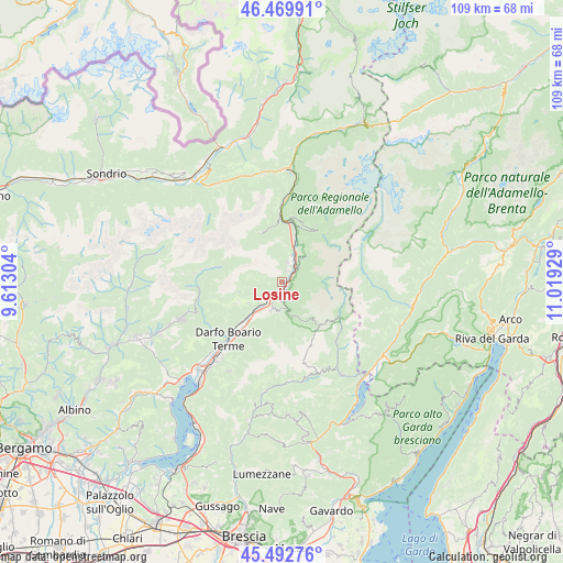
Losine GPS coordinates[2]
45° 59' 0.564" North, 10° 18' 58.176" East
| Map corner | latitude | longitude |
|---|---|---|
| Upper-left | 46.46991°, | 9.61304° |
| Center: | 45.98349°, | 10.31616° |
| Lower-right: | 45.49276°, | 11.01929° |
| Map W x H: | 108.6×108.6 km | = 67.5×67.5mi |
| max Lat: | 47.04031° ⇑8.5% North |
| Losine: | 45.98349° |
| min Lat: | ⇓91.5% South 35.50142° |
| min Long | Losine | max Long |
| 6.69888° | 10.31616° | 18.48682° |
| W 35.1%⇐ | ⇒64.9% E |
Elevation
Elevation of Losine is 391 m = 1283 ft, and this is 84.3 m = 277 ft above average elevation for this country.
| Max E: |
2085 m = 6841 ft | 30.3% |
| Losine | 391 m 1283 ft | |
| Avg. | 306.7 m = 1006 ft | |
Min E: |
-4 m = -13 ft | 69.7% |
See also: Italy elevation on elevation.city.
Geographical zone
Losine is located in North temperate zone (between Tropic of Cancer and the Arctic Circle). Distance of this North polar circle is 2288.3 km =1421.9 mi to North.| Distance of | km | miles | from Losine |
|---|---|---|---|
| North Pole | 4894.2 | 3041.1 | to North |
| Arctic Circle | 2288.3 | 1421.9 | to North |
| Tropic Cancer | 2507 | 1557.8 | to South |
| Equator | 5112.9 | 3177 | to South |


Nearby cities:
15 places around Losine: (largest is in red/bold)
• Badetto
2.5 km =1.6 mi,  54°
54°
• Berzo Inferiore
6.6 km =4.1 mi,  207°
207°
• Bienno
5.7 km =3.5 mi,  198°
198°
• Braone
2.1 km =1.3 mi,  69°
69°
• Breno
2.8 km =1.7 mi, 195°
• Capo di Ponte
5.6 km =3.5 mi,  21°
21°
• Cerveno
2.2 km =1.4 mi, 24°
• Ceto
3.5 km =2.2 mi, 52°
• Cimbergo
5.9 km =3.7 mi,  40°
40°
• Cividate Camuno
6.1 km =3.8 mi,  219°
219°
• Crist
1.1 km =0.7 mi,  156°
156°
• Lozio
4.3 km =2.7 mi,  273°
273°
• Malegno
4.9 km =3 mi, 221°
• Niardo
1.6 km =1 mi,  122°
122°
• Ono San Pietro
3.8 km =2.4 mi,  14°
14°
Sources, notices
• [Note1] Compared only with cities in Italy existing in our database
• [Src1] Map data: © OpenStreetMap contributors (CC-BY-SA)
• [Src2] Other city data from geonames.org with taken over terms of usage.
• [Src3] Geographical zone / Annual Mean Temperature by Robert A. Rohde @ Wikipedia
