Moransengo geodata
Moransengo (Piedmont) is a seat of a third-order administrative division; located in Italy in Europe/Rome (GMT+2) time zone. With population of 70 people, there are 11538 cities with bigger population in this country. Compared to other cities in Italy, 62.8% of cities are located further ↓South; 93.3% of cities are located further →East and 70.5% of cities have lower elevation than Moransengo. Note1


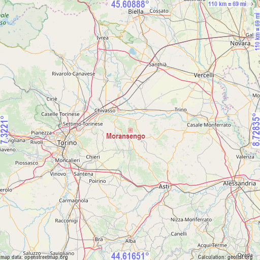
Moransengo GPS coordinates[2]
45° 6' 53.46" North, 8° 1' 30.828" East
| Map corner | latitude | longitude |
|---|---|---|
| Upper-left | 45.60888°, | 7.3221° |
| Center: | 45.11485°, | 8.02523° |
| Lower-right: | 44.61651°, | 8.72835° |
| Map W x H: | 110.3×110.3 km | = 68.5×68.5mi |
| max Lat: | 47.04031° ⇑37.2% North |
| Moransengo: | 45.11485° |
| min Lat: | ⇓62.8% South 35.50142° |
| min Long | Moransengo | max Long |
| 6.69888° | 8.02523° | 18.48682° |
| W 6.7%⇐ | ⇒93.3% E |
Elevation
Elevation of Moransengo is 399 m = 1309 ft, and this is 92.3 m = 303 ft above average elevation for this country.
| Max E: |
2085 m = 6841 ft | 29.5% |
| Moransengo | 399 m 1309 ft | |
| Avg. | 306.7 m = 1006 ft | |
Min E: |
-4 m = -13 ft | 70.5% |
See also: Italy elevation on elevation.city.
Geographical zone
Moransengo is located in North temperate zone (between Tropic of Cancer and the Arctic Circle). Distance of this North polar circle is 2384.9 km =1481.9 mi to North.| Distance of | km | miles | from Moransengo |
|---|---|---|---|
| North Pole | 4990.8 | 3101.1 | to North |
| Arctic Circle | 2384.9 | 1481.9 | to North |
| Tropic Cancer | 2410.4 | 1497.8 | to South |
| Equator | 5016.3 | 3117 | to South |


Nearby cities:
15 places around Moransengo: (largest is in red/bold)
• Albugnano
5.9 km =3.7 mi,  225°
225°
• Aramengo
2.5 km =1.6 mi, 231°
• Berzano di San Pietro
6.1 km =3.8 mi,  247°
247°
• Brozolo
3.7 km =2.3 mi,  86°
86°
• Brusasco
5.3 km =3.3 mi,  32°
32°
• Casalborgone
6.9 km =4.3 mi,  284°
284°
• Cavagnolo
4.5 km =2.8 mi,  24°
24°
• Cocconato
3.4 km =2.1 mi,  159°
159°
• Lauriano
5.5 km =3.4 mi,  334°
334°
• Monteu da Po
4 km =2.5 mi,  347°
347°
• Passerano Marmorito
6.6 km =4.1 mi,  184°
184°
• Piovà Massaia
6.9 km =4.3 mi, 163°
• Pomaretto
4.5 km =2.8 mi, 22°
• Robella
6.2 km =3.9 mi,  103°
103°
• Tonengo
1.8 km =1.1 mi, 279°
Sources, notices
• [Note1] Compared only with cities in Italy existing in our database
• [Src1] Map data: © OpenStreetMap contributors (CC-BY-SA)
• [Src2] Other city data from geonames.org with taken over terms of usage.
• [Src3] Geographical zone / Annual Mean Temperature by Robert A. Rohde @ Wikipedia
