Labso geodata
Labso (Campania) is a populated place; located in Italy in Europe/Rome (GMT+2) time zone. With population of 599 people, there are 9016 cities with bigger population in this country. Compared to other cities in Italy, 80.9% of cities are located further ↑North; 85.1% of cities are located further ←West and 55.1% of cities have higher elevation than Labso. Note1


Labso GPS coordinates[2]
40° 50' 34.512" North, 14° 46' 2.604" East
| Map corner | latitude | longitude |
|---|---|---|
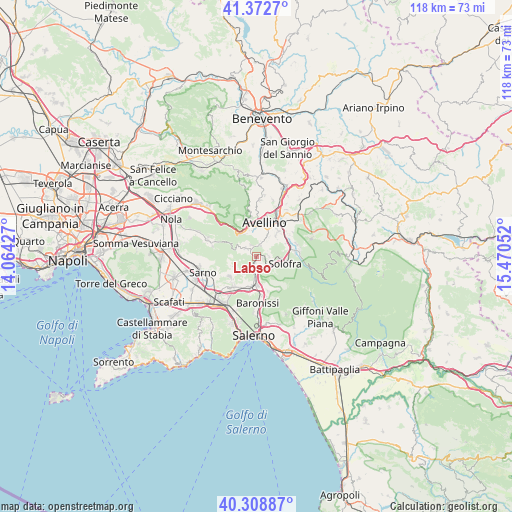
| Upper-left | 41.3727°, | 14.06427° |
| Center: | 40.84292°, | 14.76739° |
| Lower-right: | 40.30887°, | 15.47052° |
| Map W x H: | 118.3×118.3 km | = 73.5×73.5mi |
| max Lat: | 47.04031° ⇑80.9% North |
| Labso: | 40.84292° |
| min Lat: | ⇓19.1% South 35.50142° |
| min Long | Labso | max Long |
| 6.69888° | 14.76739° | 18.48682° |
| W 85.1%⇐ | ⇒14.9% E |
Elevation
Elevation of Labso is 202 m = 663 ft, and this is 104.7 m = 344 ft below average elevation for this country.
| Max E: |
2085 m = 6841 ft | 55.1% |
| Avg. | 306.7 m = 1006 ft | |
| Labso | 202 m = 663 ft | |
Min E: |
-4 m = -13 ft | 44.9% |
See also: Italy elevation on elevation.city.
Geographical zone
Labso is located in North temperate zone (between Tropic of Cancer and the Arctic Circle). Distance of this Northern Tropic circle is 1935.4 km =1202.6 mi to South.| Distance of | km | miles | from Labso |
|---|---|---|---|
| North Pole | 5465.8 | 3396.3 | to North |
| Arctic Circle | 2859.9 | 1777.1 | to North |
| Tropic Cancer | 1935.4 | 1202.6 | to South |
| Equator | 4541.3 | 2821.8 | to South |


Nearby cities:
15 places around Labso: (largest is in red/bold)
• Banzano
2.9 km =1.8 mi,  88°
88°
• Bellizzi Irpino
5.9 km =3.7 mi,  26°
26°
• Borgo
1.4 km =0.9 mi,  102°
102°
• Bracigliano
5.7 km =3.5 mi,  241°
241°
• Ciorani
5.1 km =3.2 mi,  215°
215°
• Contrada
2.9 km =1.8 mi,  16°
16°
• Forino
3.4 km =2.1 mi,  300°
300°
• Misciano
3.5 km =2.2 mi,  152°
152°
• Montoro Superiore
3.9 km =2.4 mi,  137°
137°
• Petruro
3 km =1.9 mi,  336°
336°
• Piano
2.6 km =1.6 mi,  193°
193°
• Piazza di Pandola
4 km =2.5 mi,  174°
174°
• San Pietro
2.6 km =1.6 mi, 145°
• Soccorso
5.2 km =3.2 mi, 174°
• Torchiati
4 km =2.5 mi,  133°
133°
Sources, notices
• [Note1] Compared only with cities in Italy existing in our database
• [Src1] Map data: © OpenStreetMap contributors (CC-BY-SA)
• [Src2] Other city data from geonames.org with taken over terms of usage.
• [Src3] Geographical zone / Annual Mean Temperature by Robert A. Rohde @ Wikipedia
